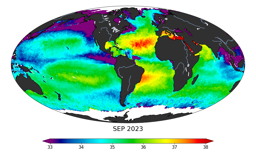
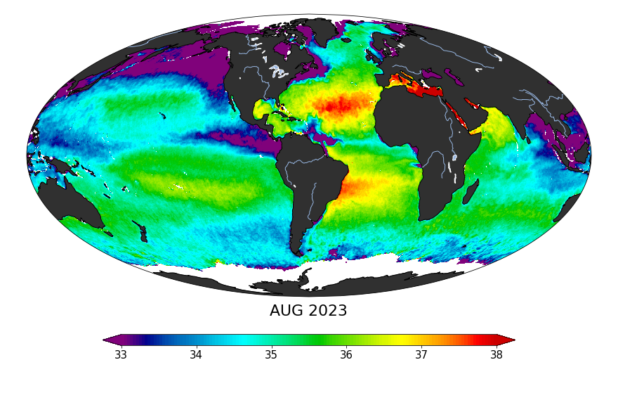
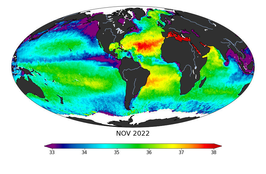
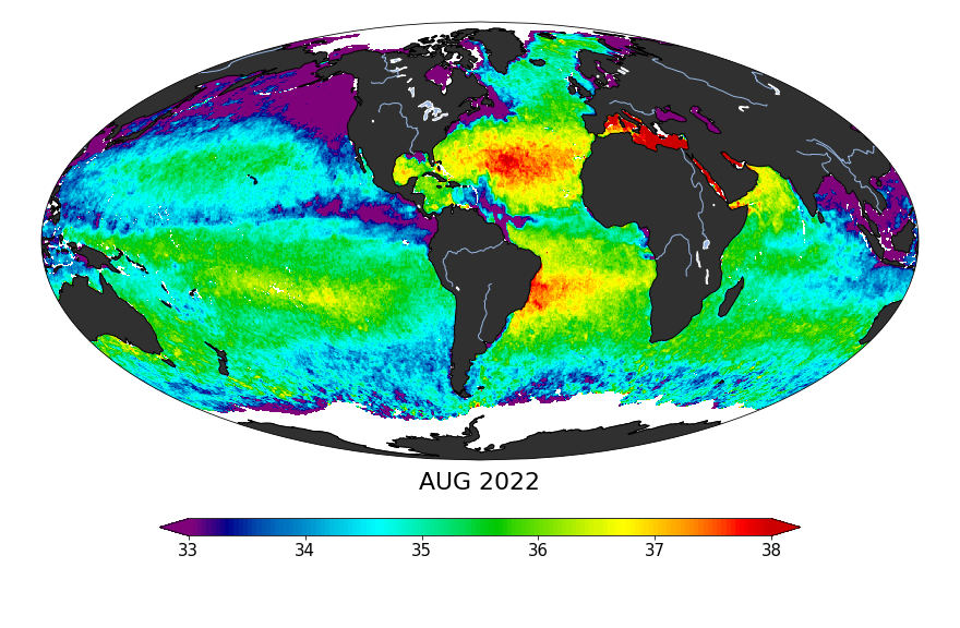
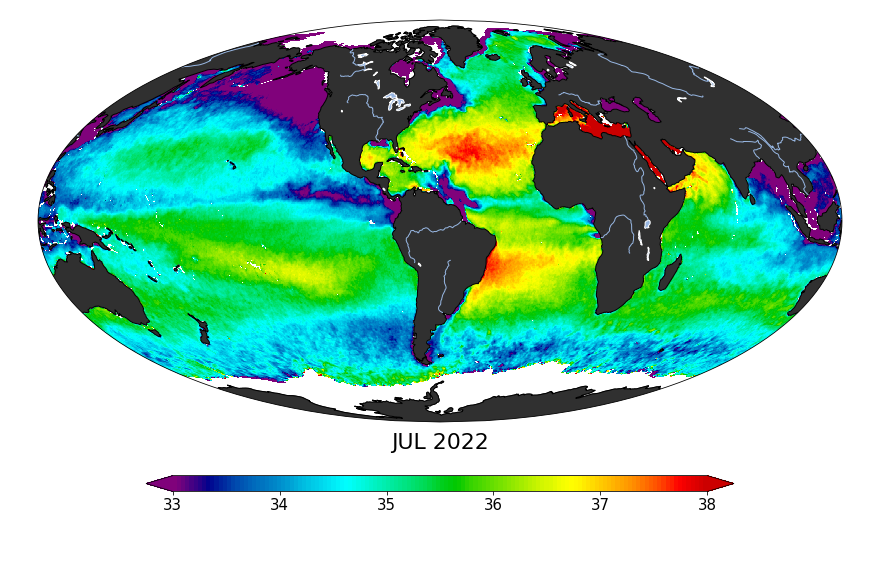
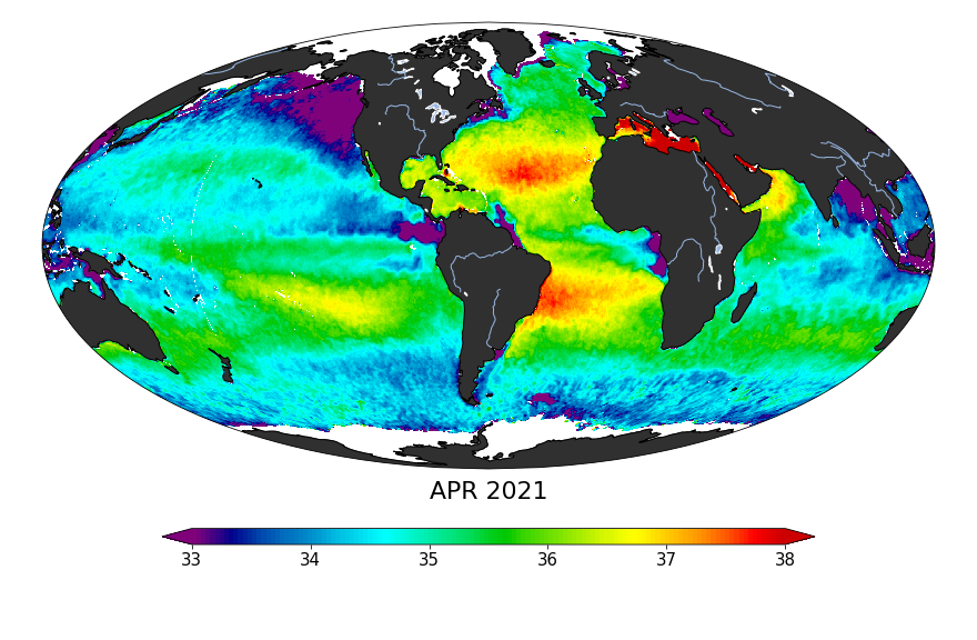
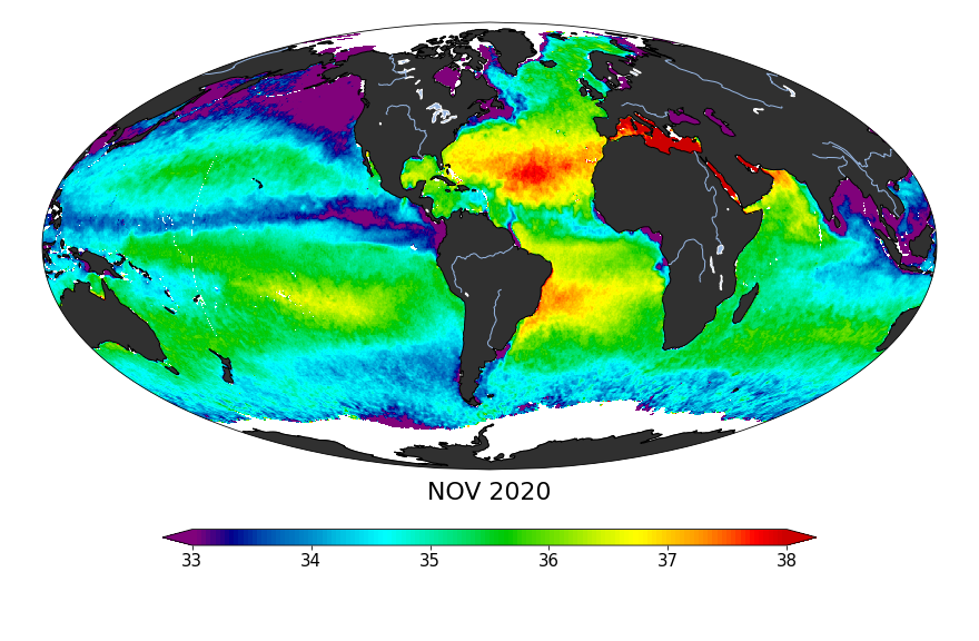
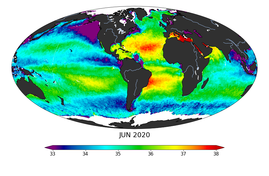
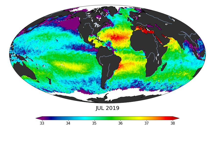
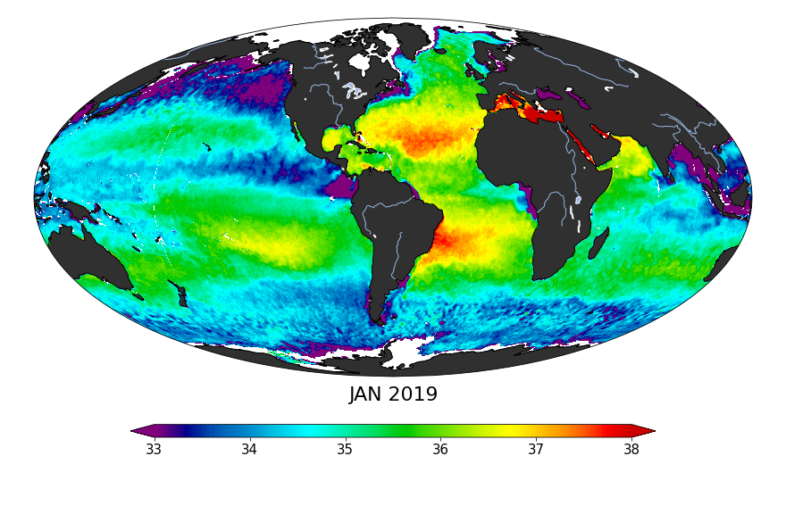
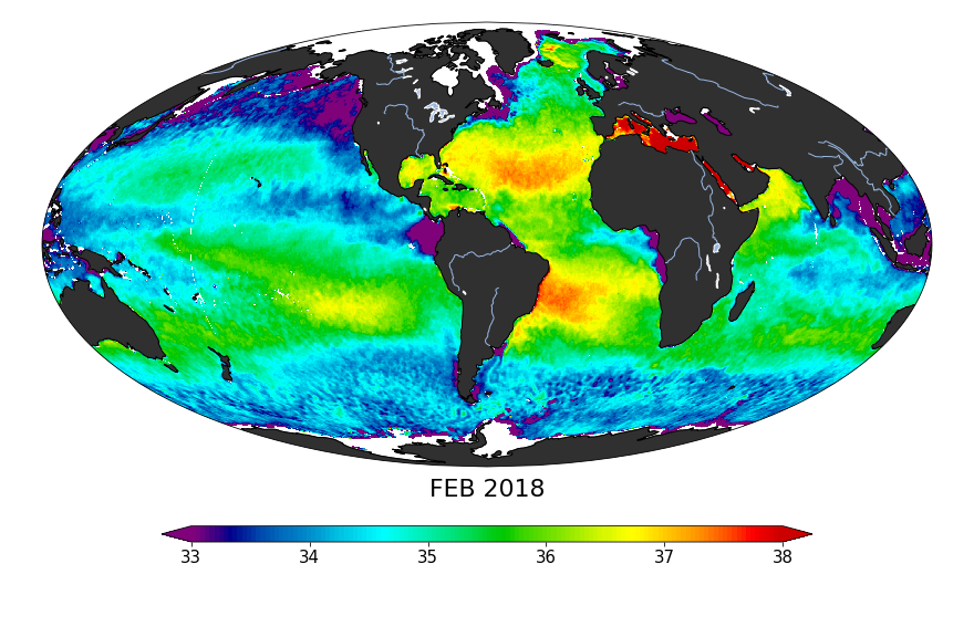
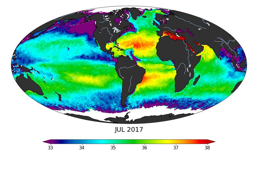
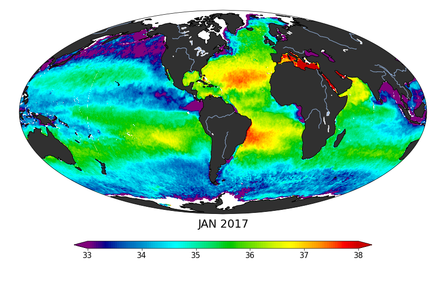
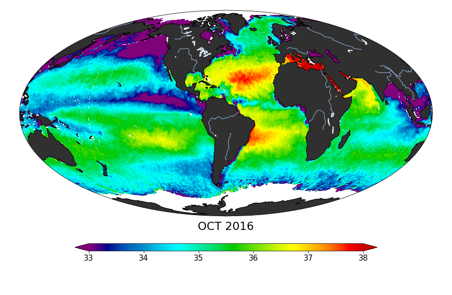
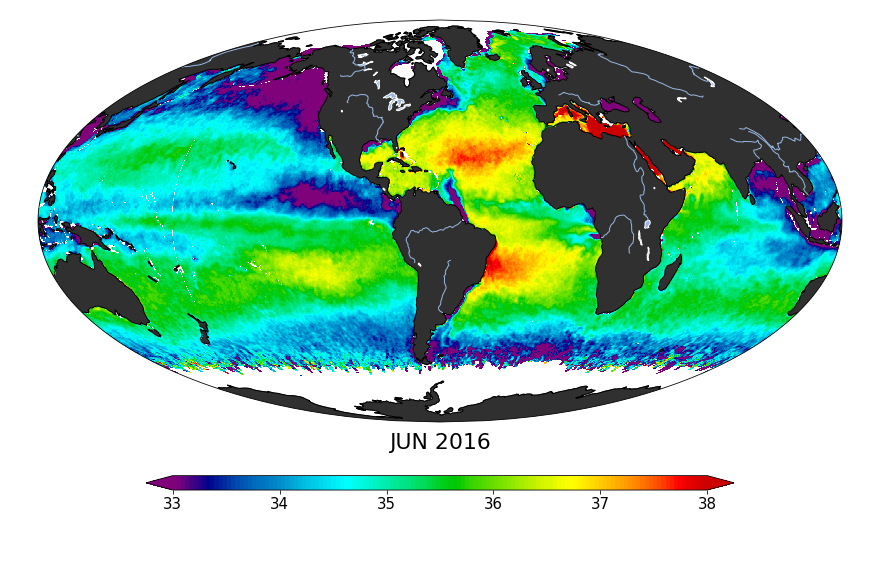
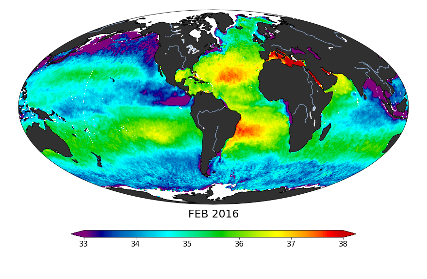
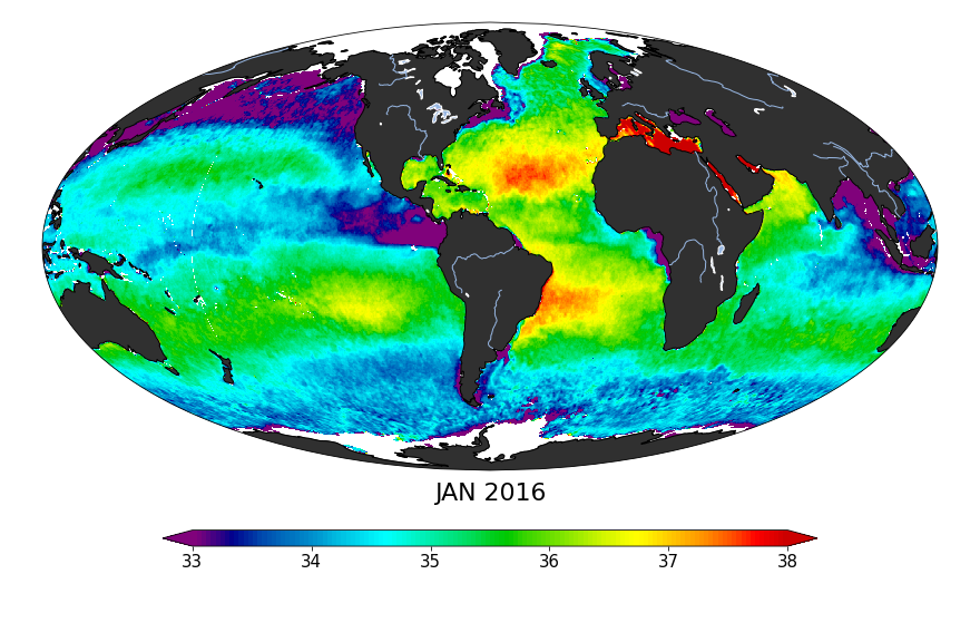
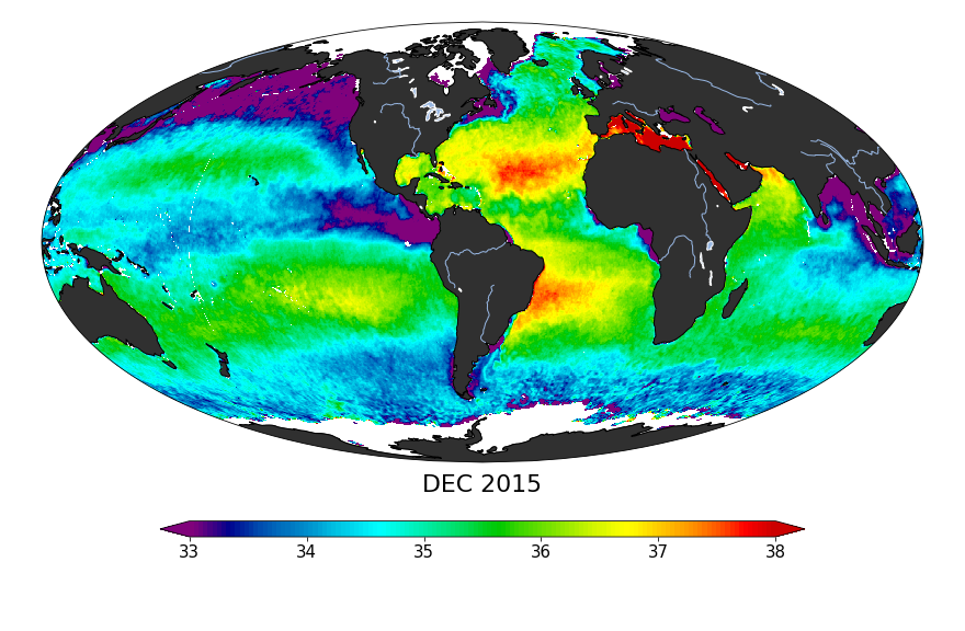
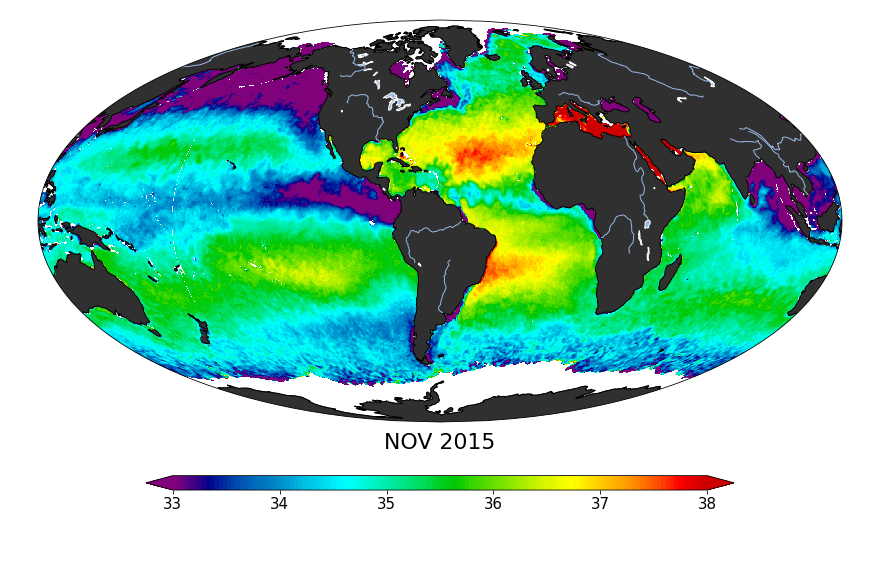
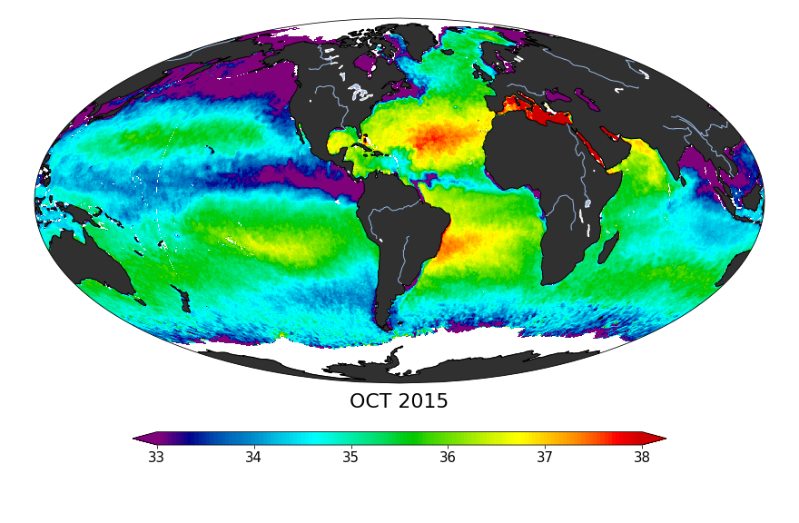
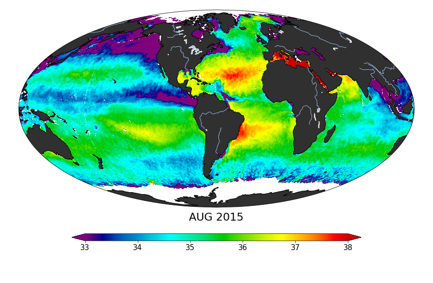
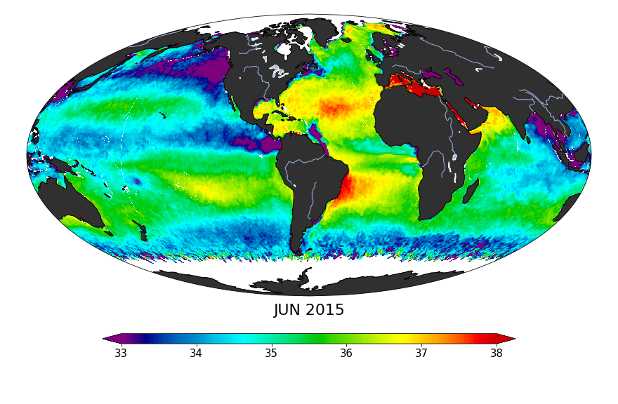
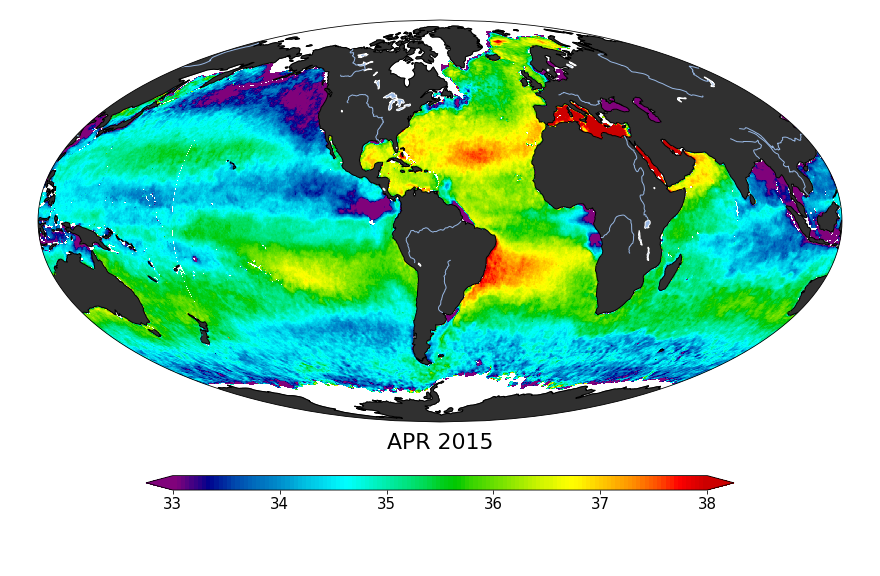
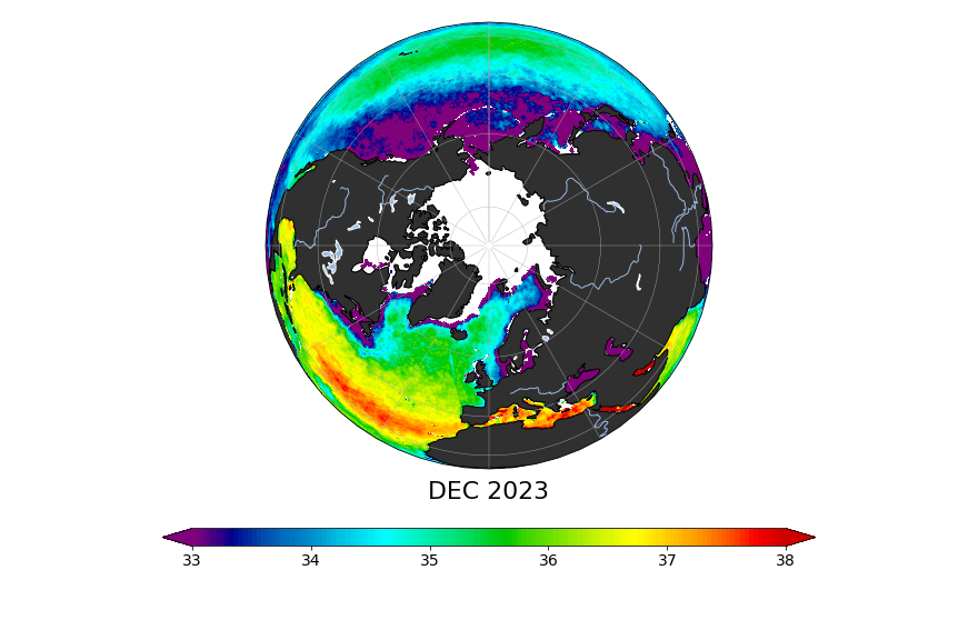
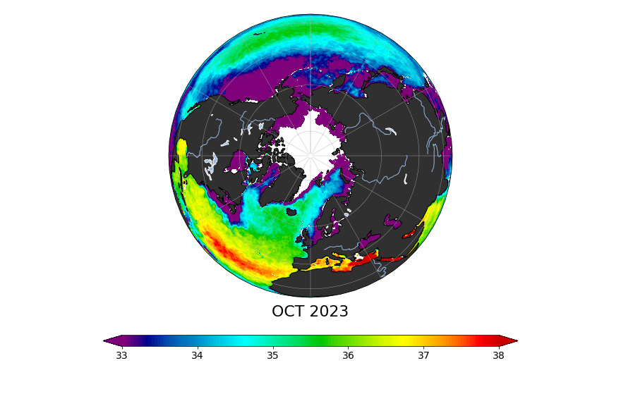
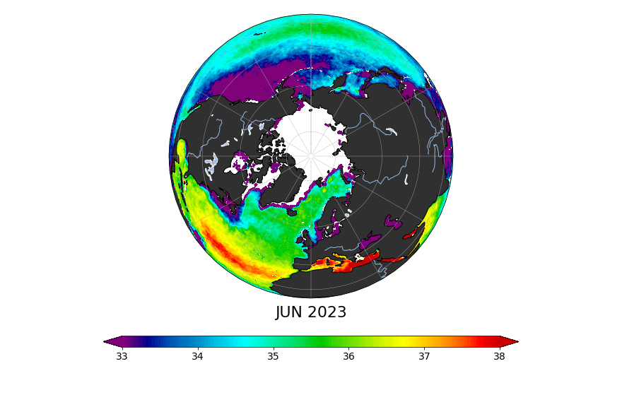
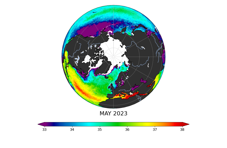
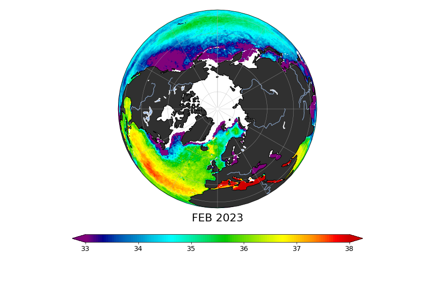
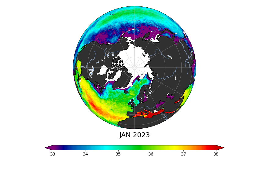
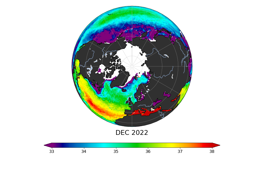
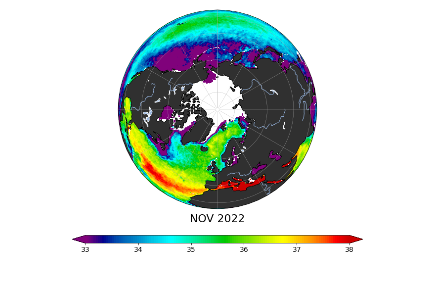
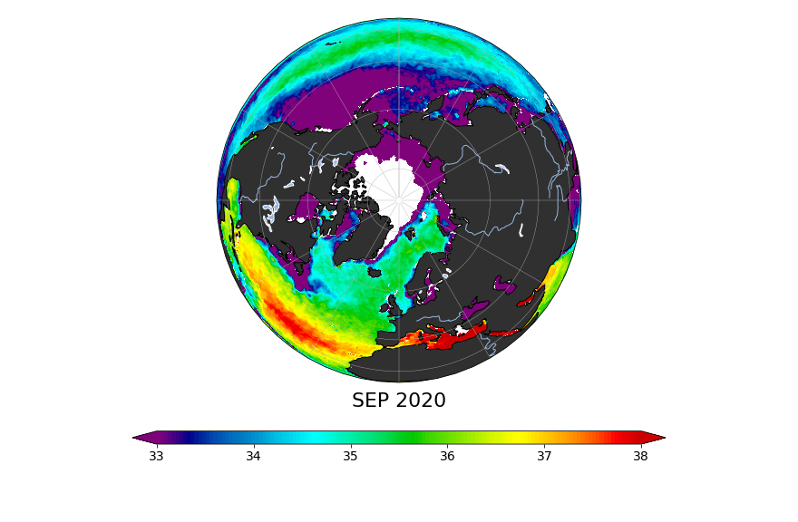
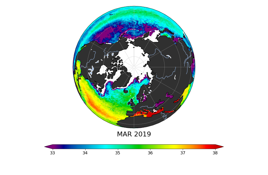
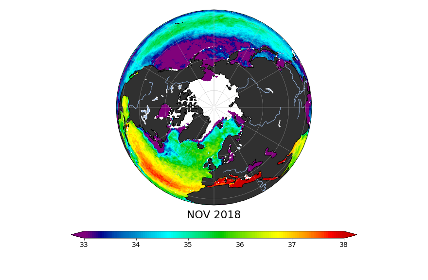
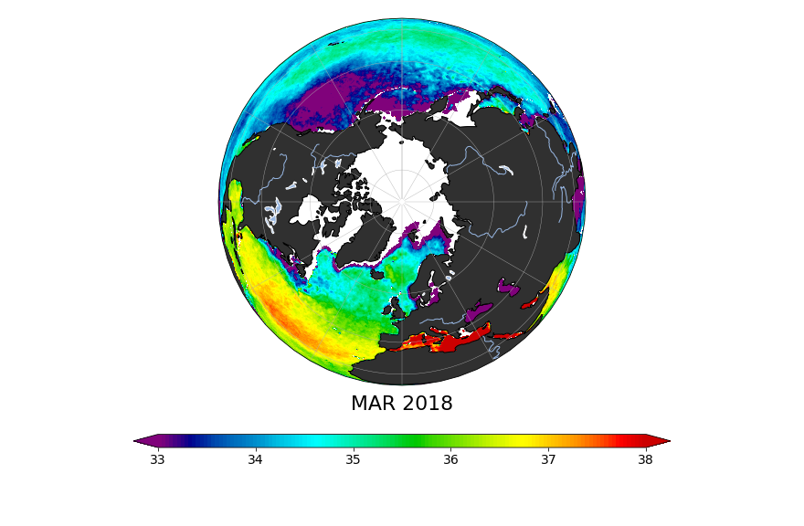
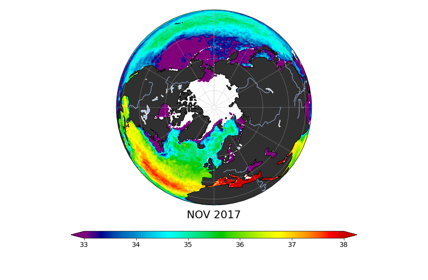
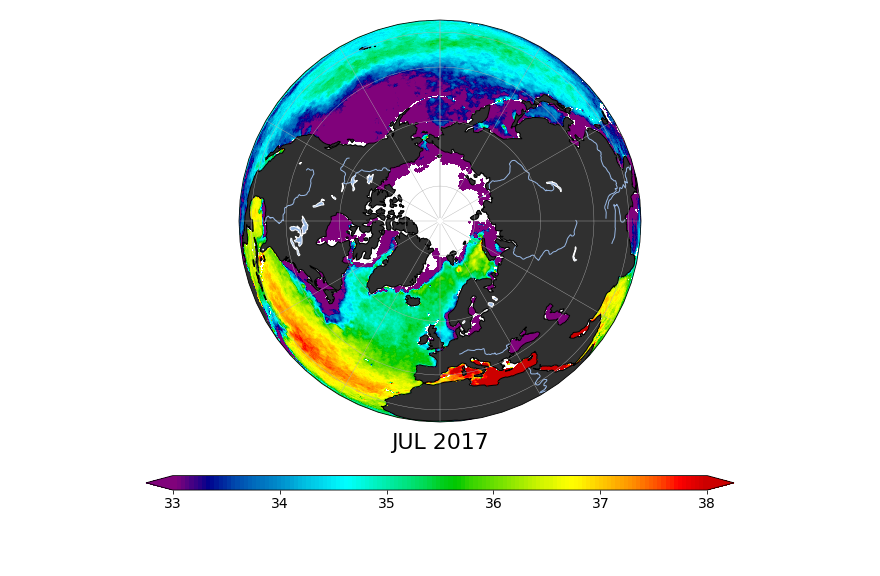
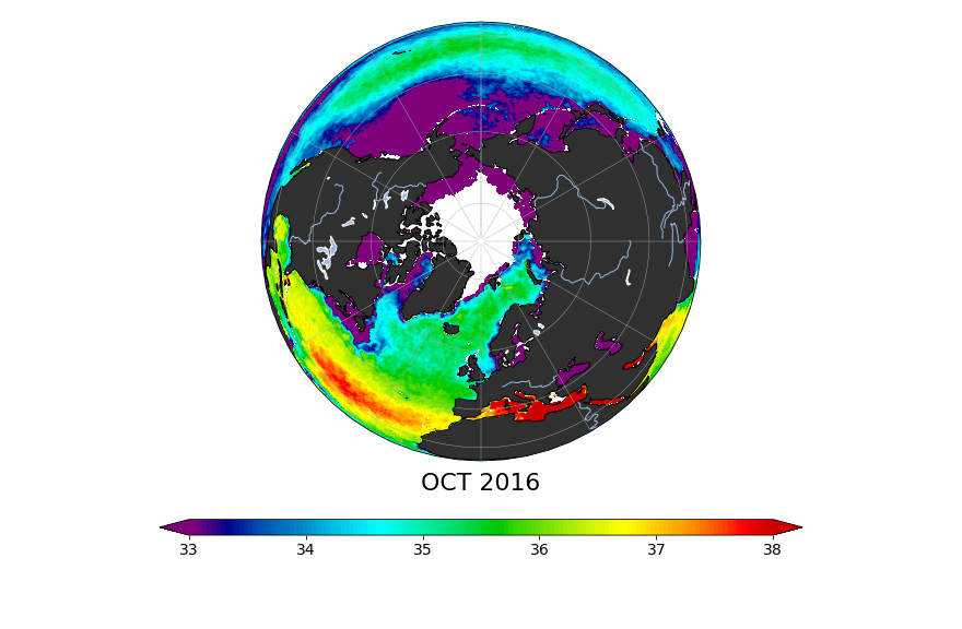
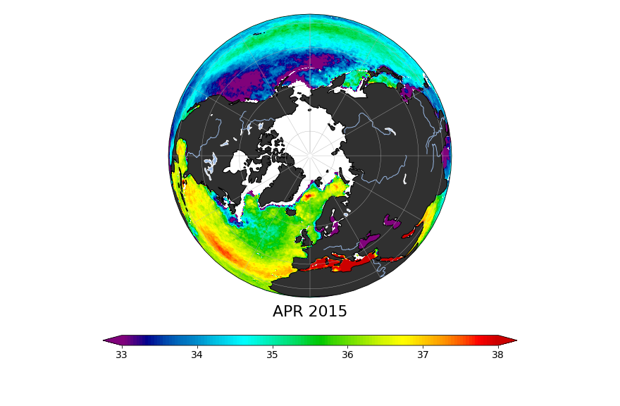
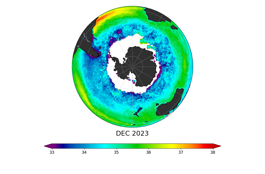
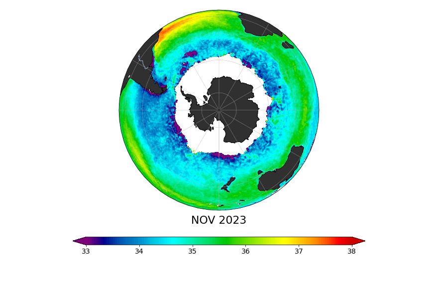
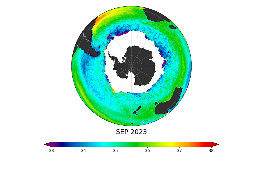
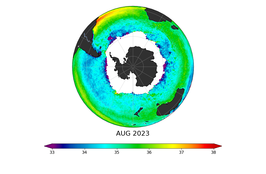
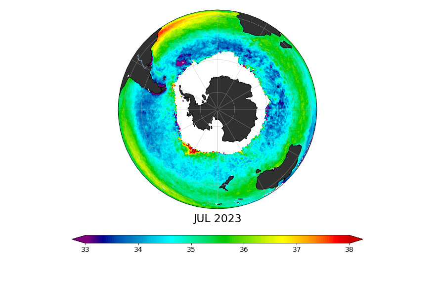
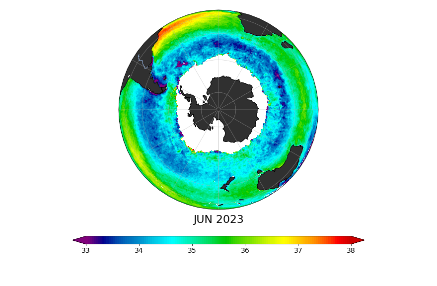
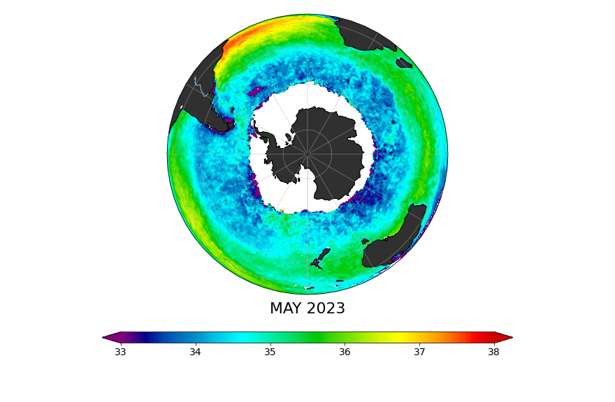
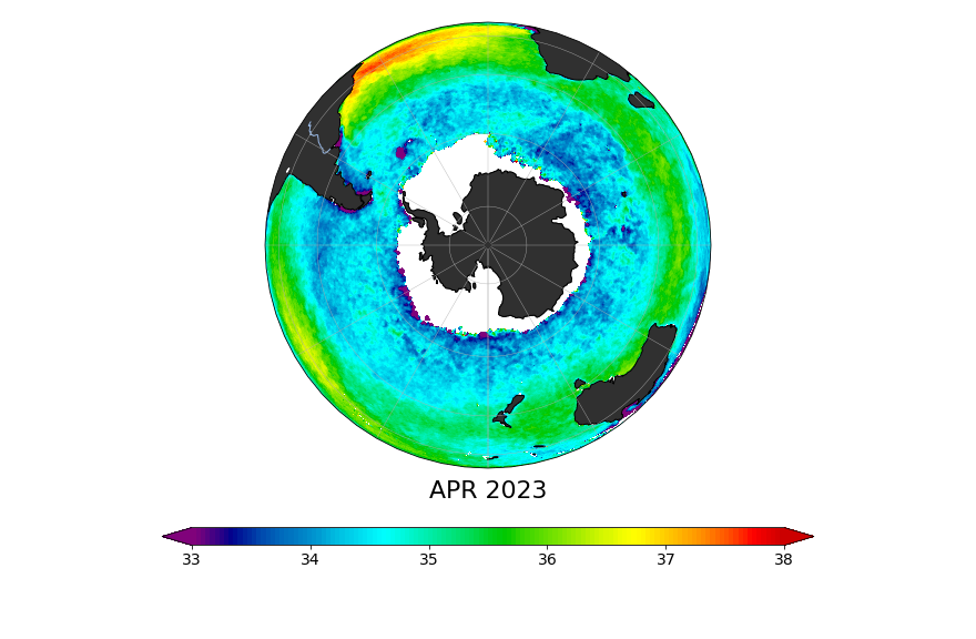
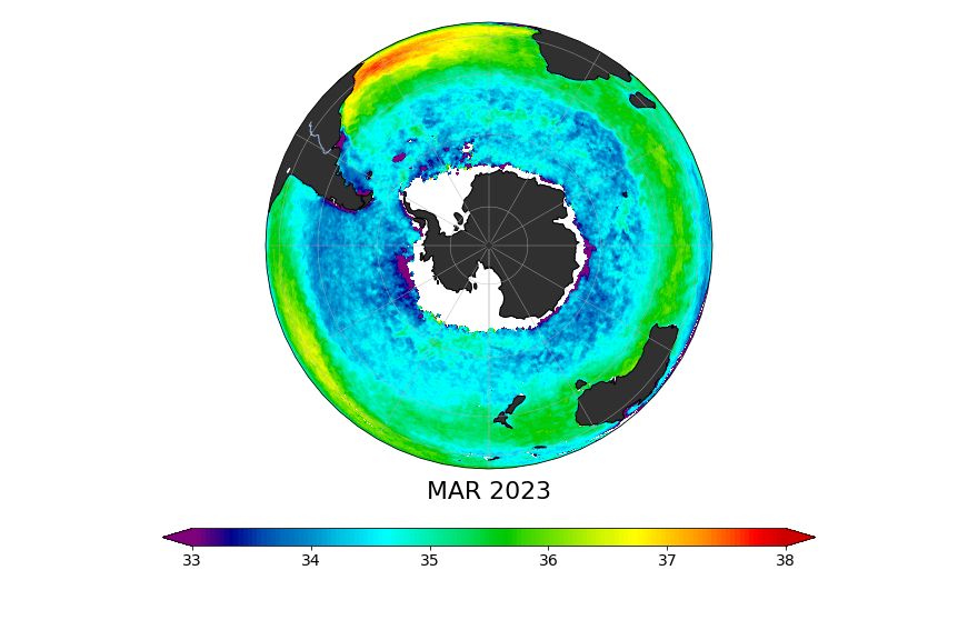
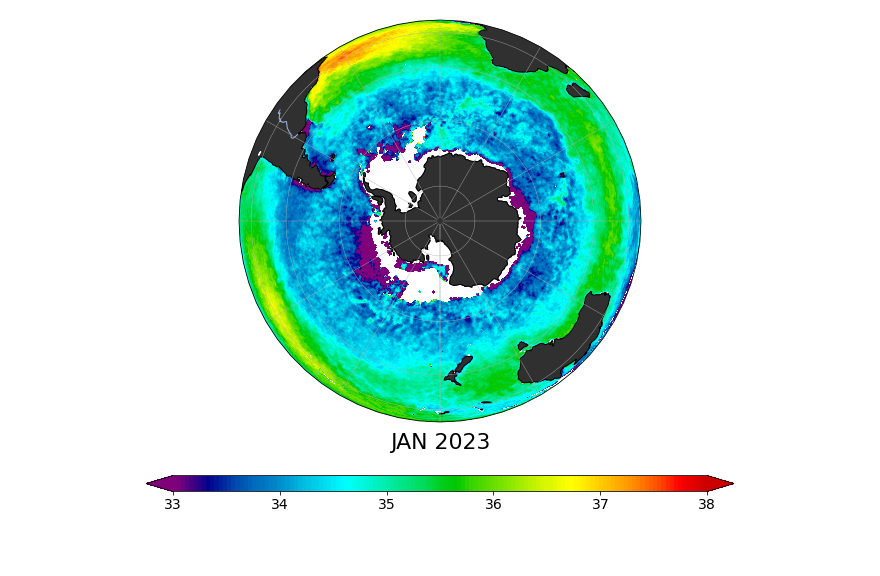
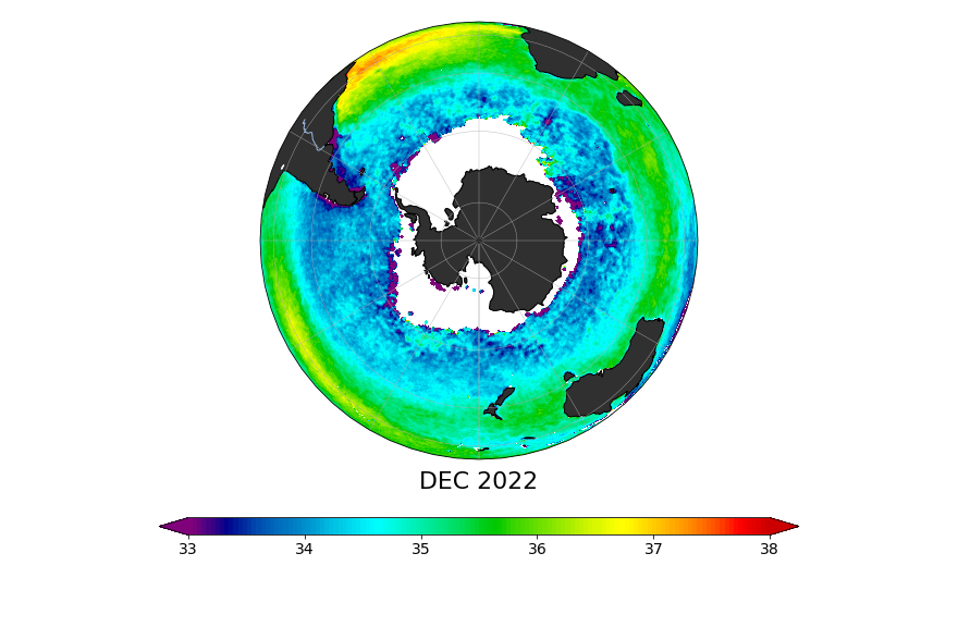
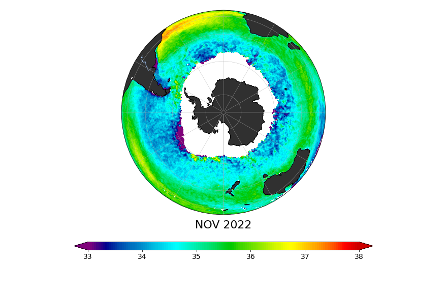
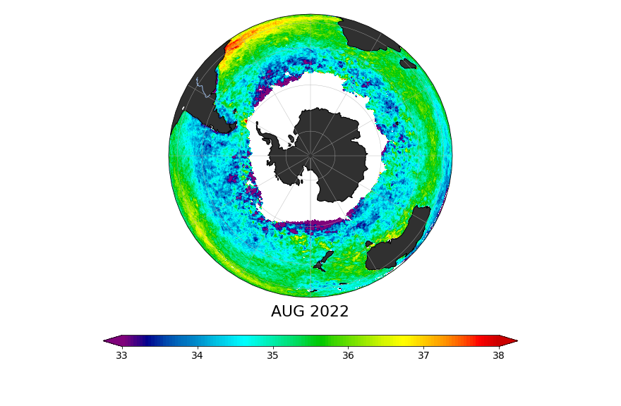
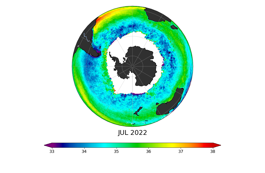
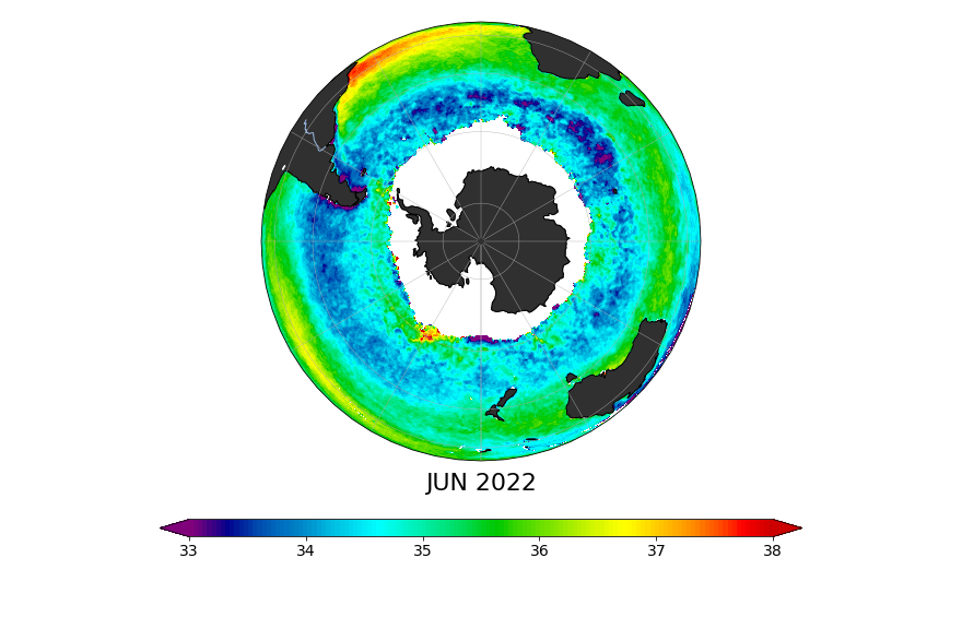
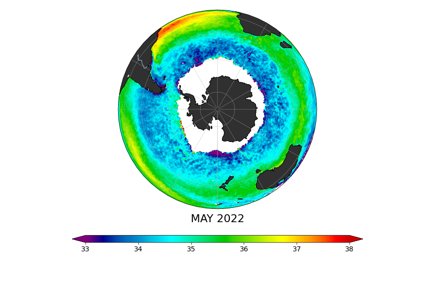
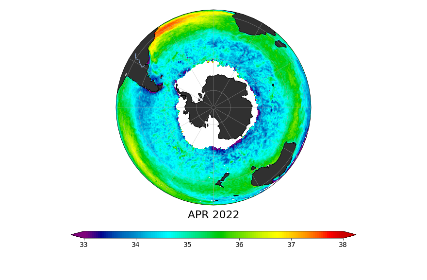
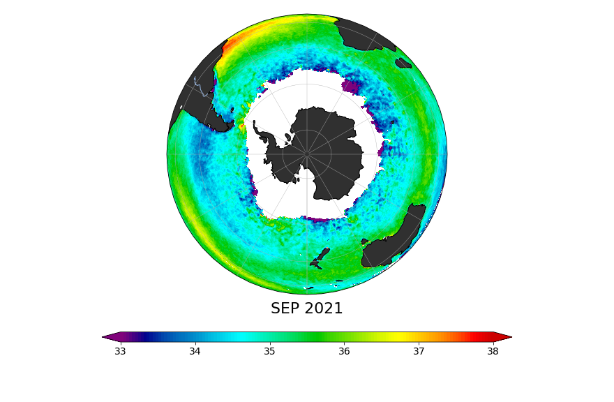
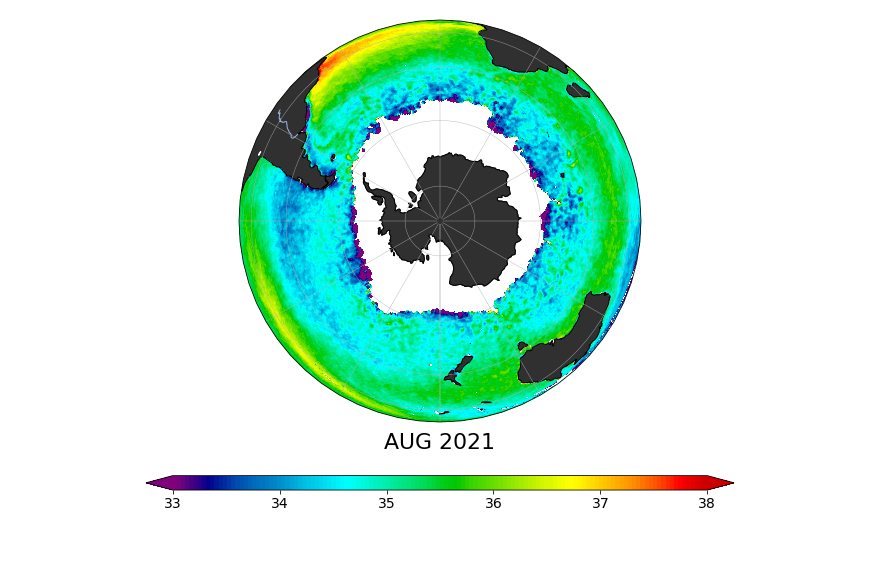
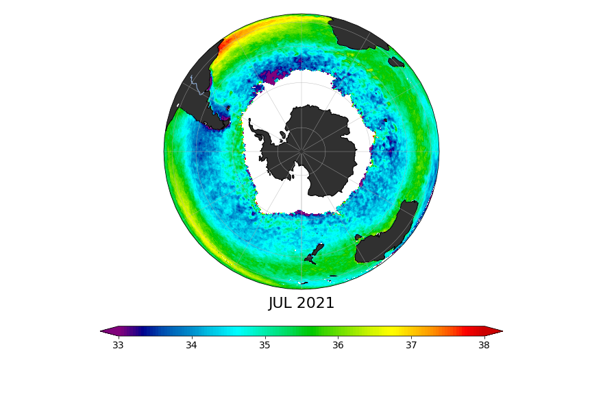
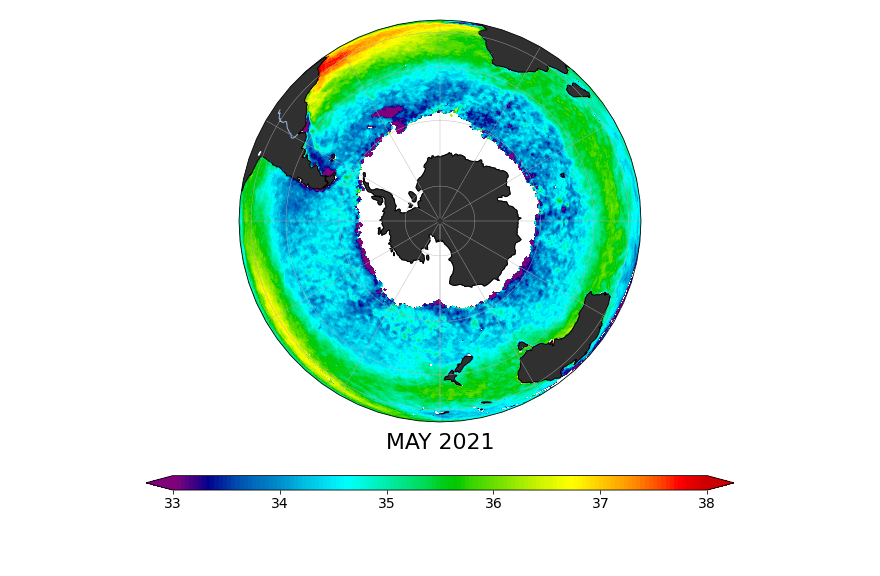
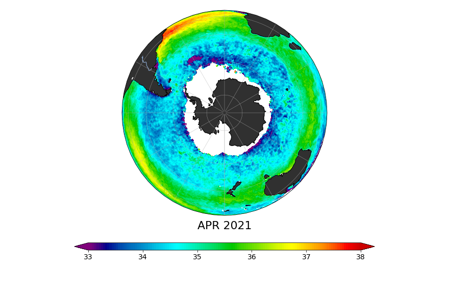
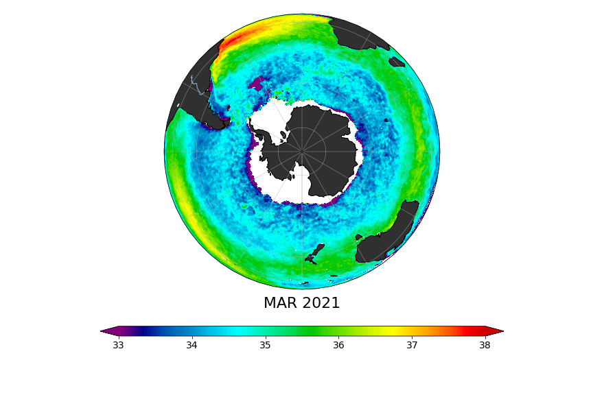
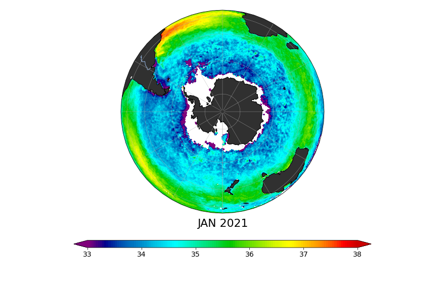
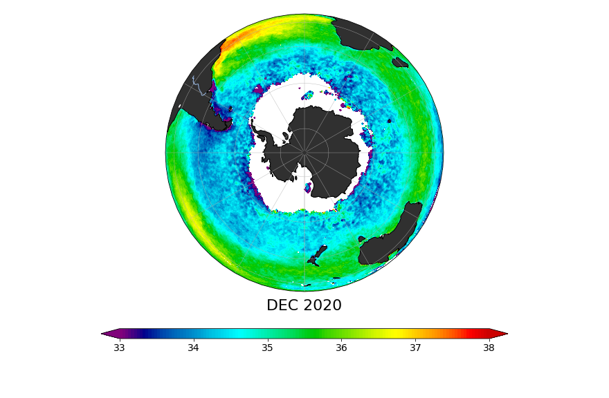
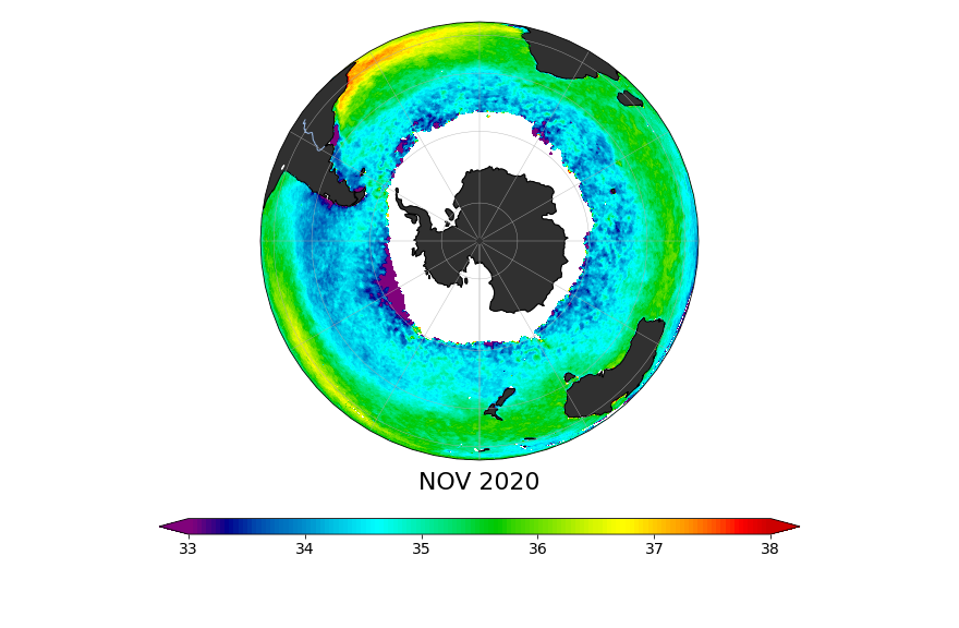
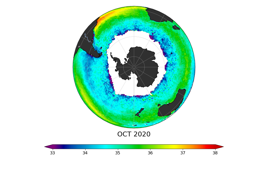
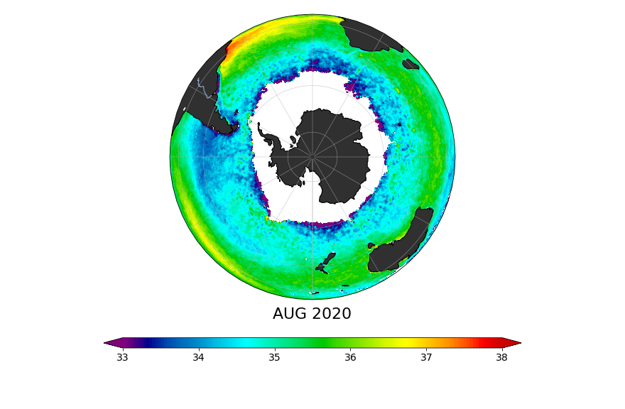
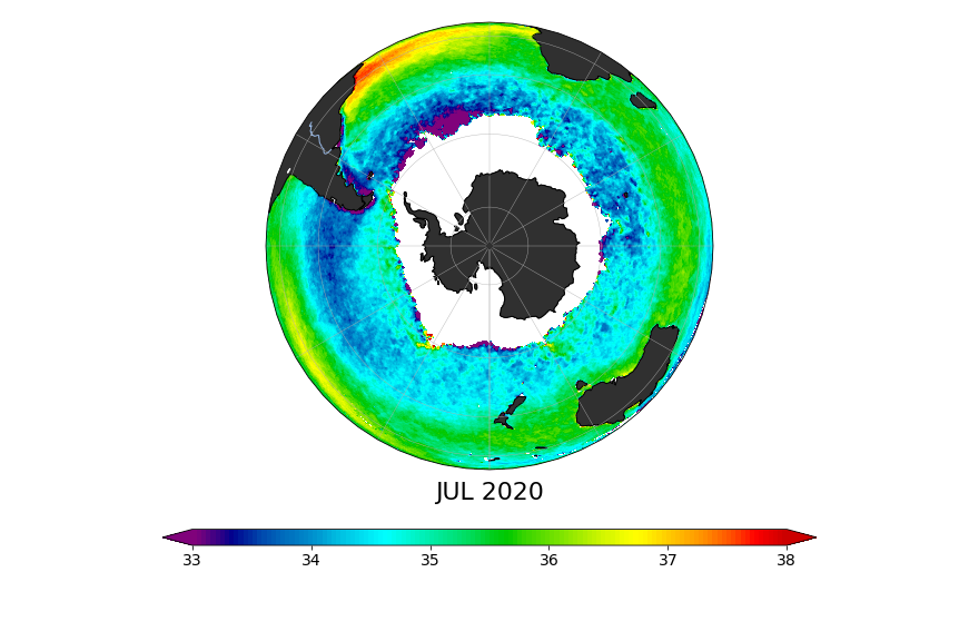
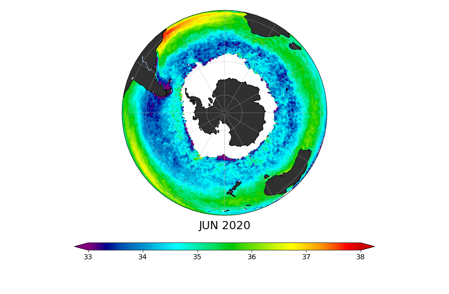
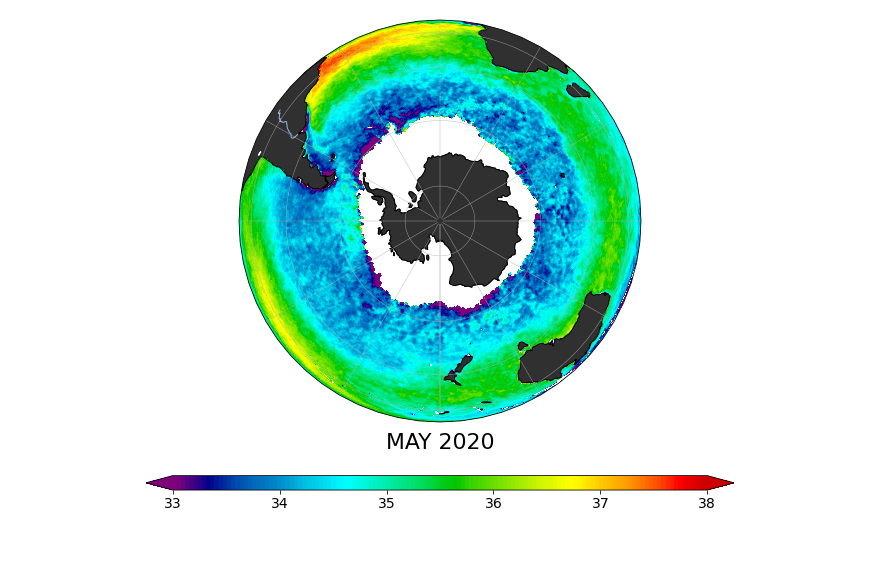
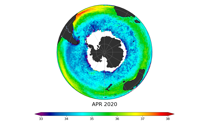
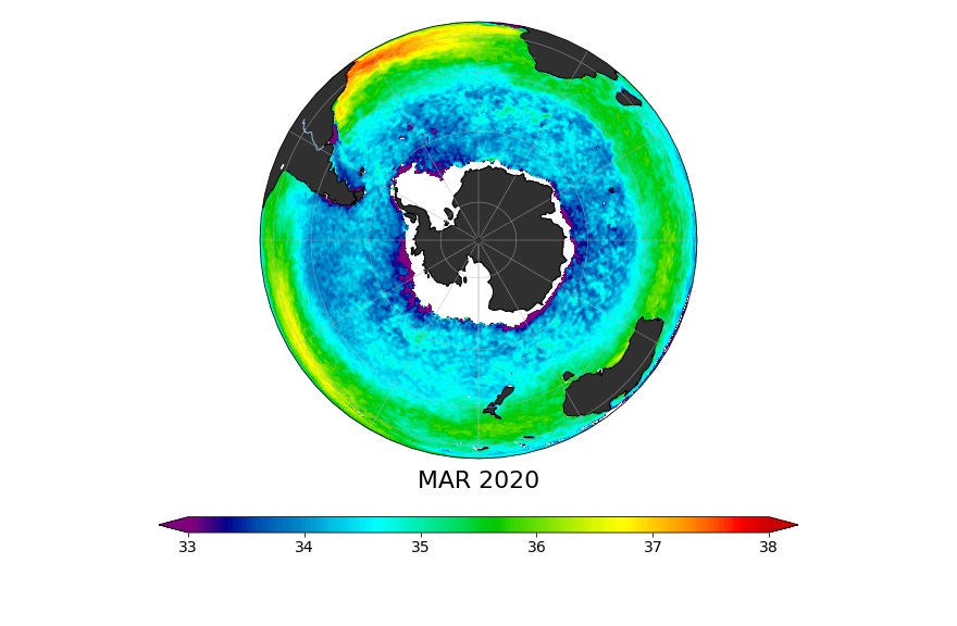
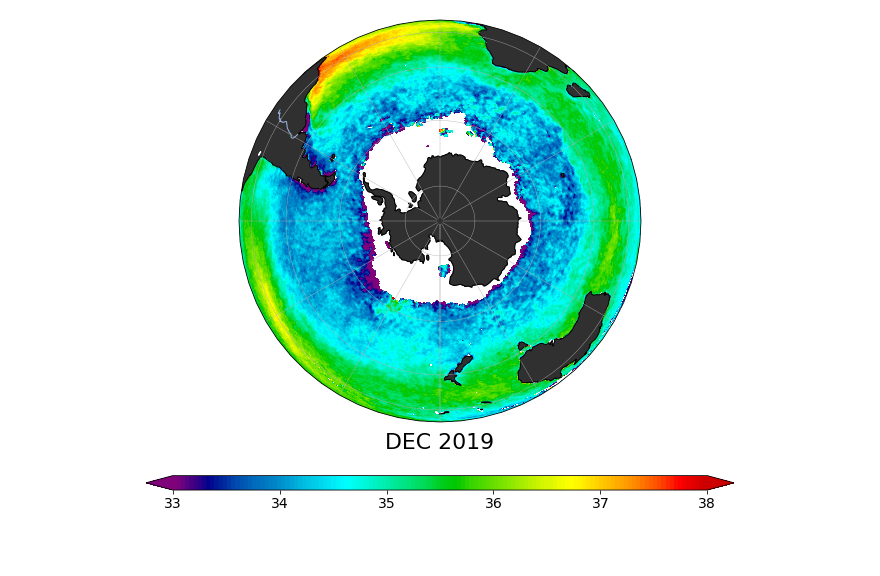
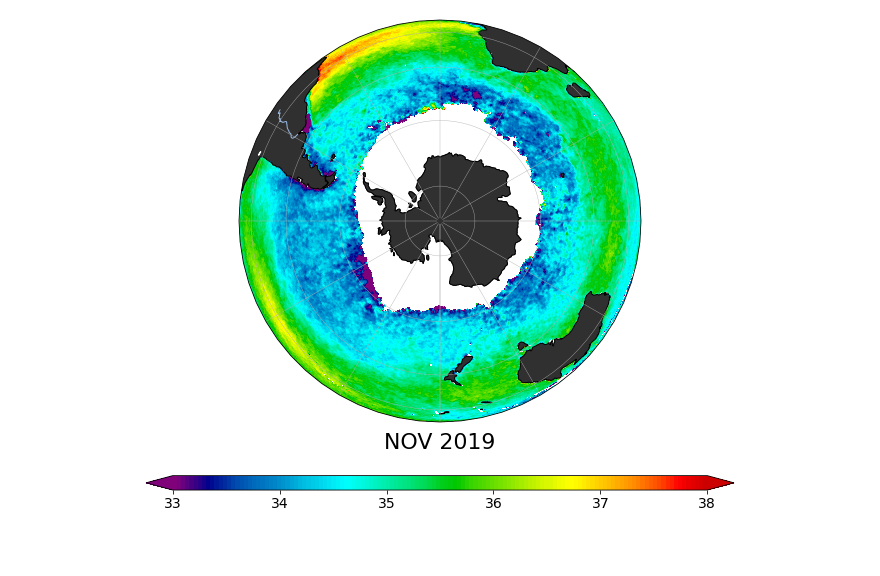
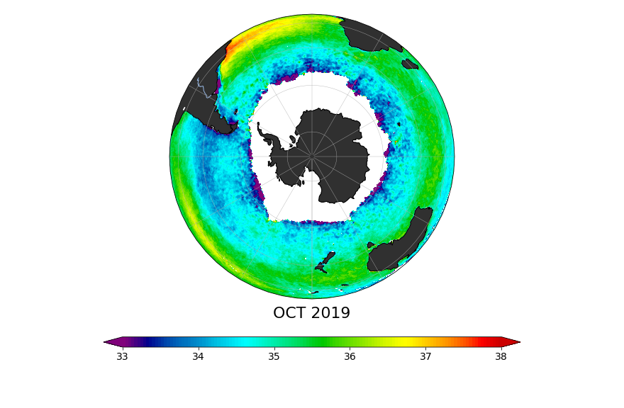
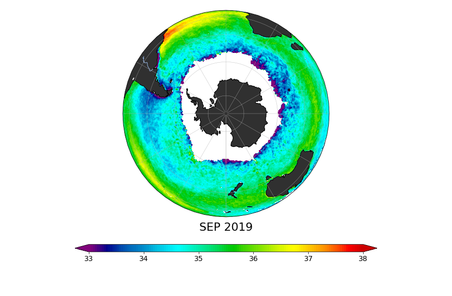
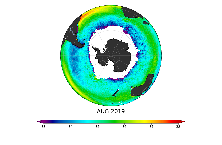
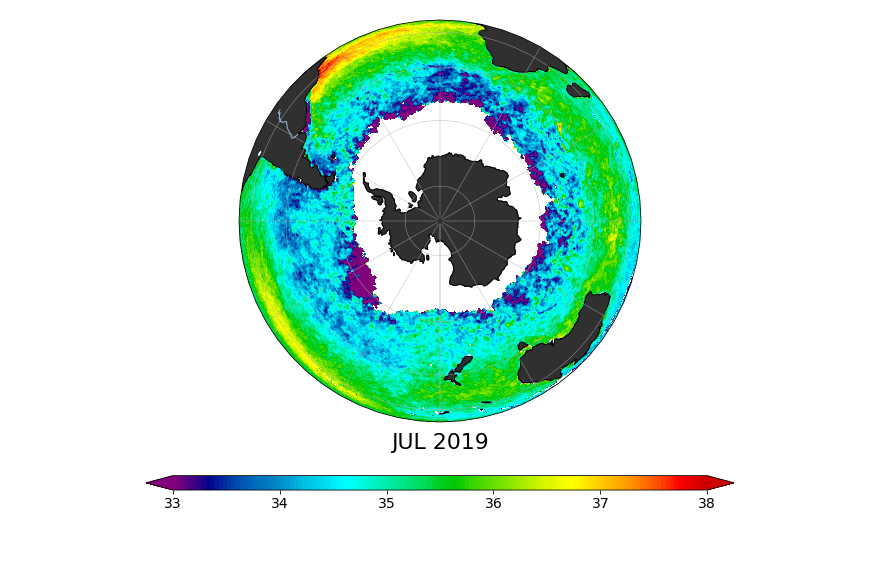
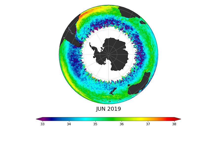
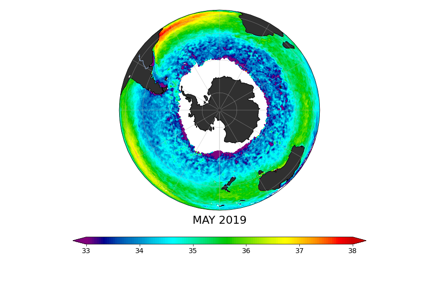
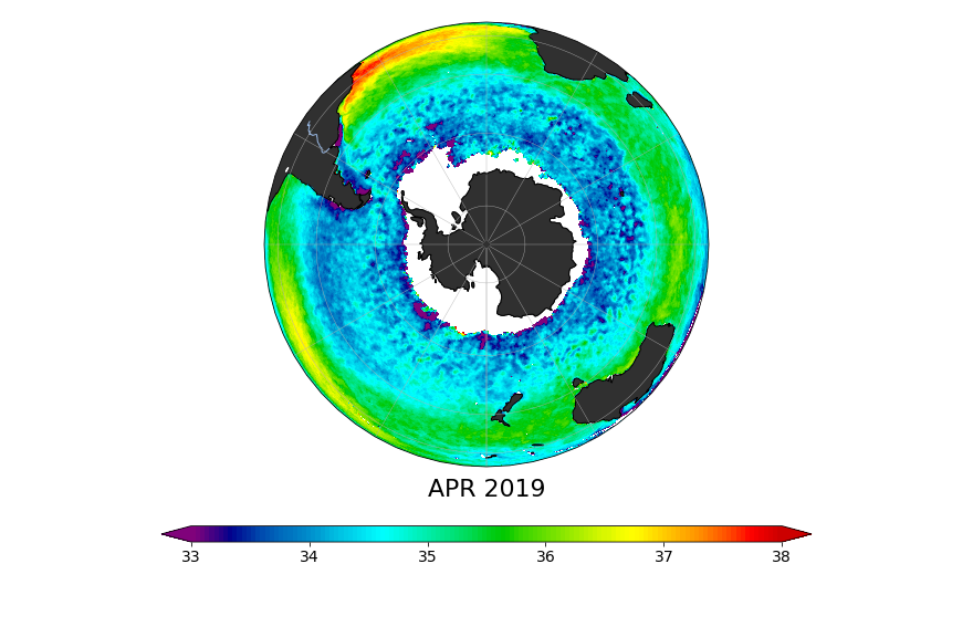
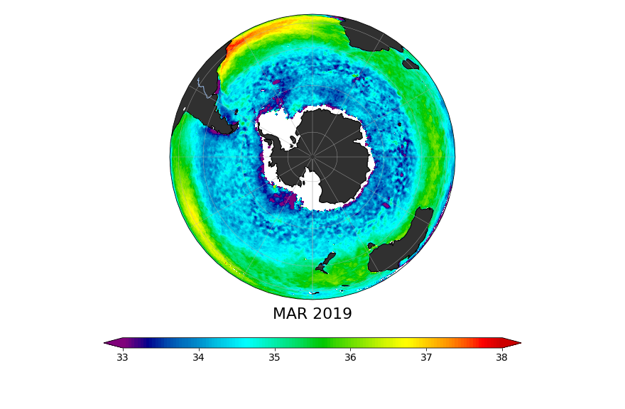
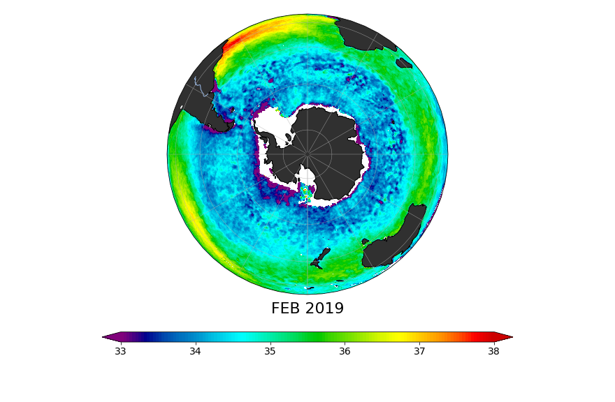
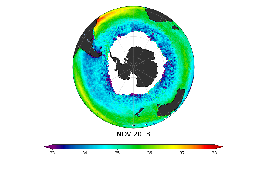
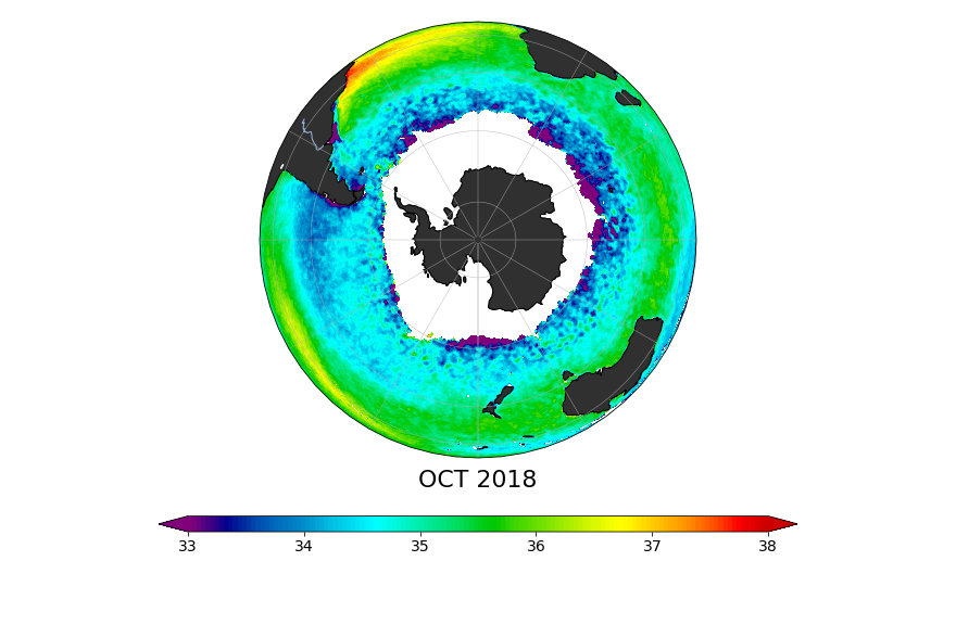
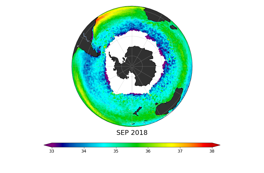
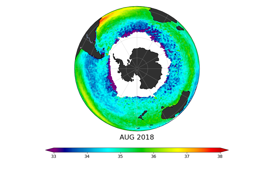
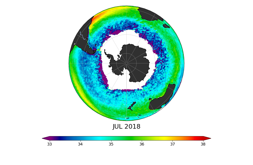
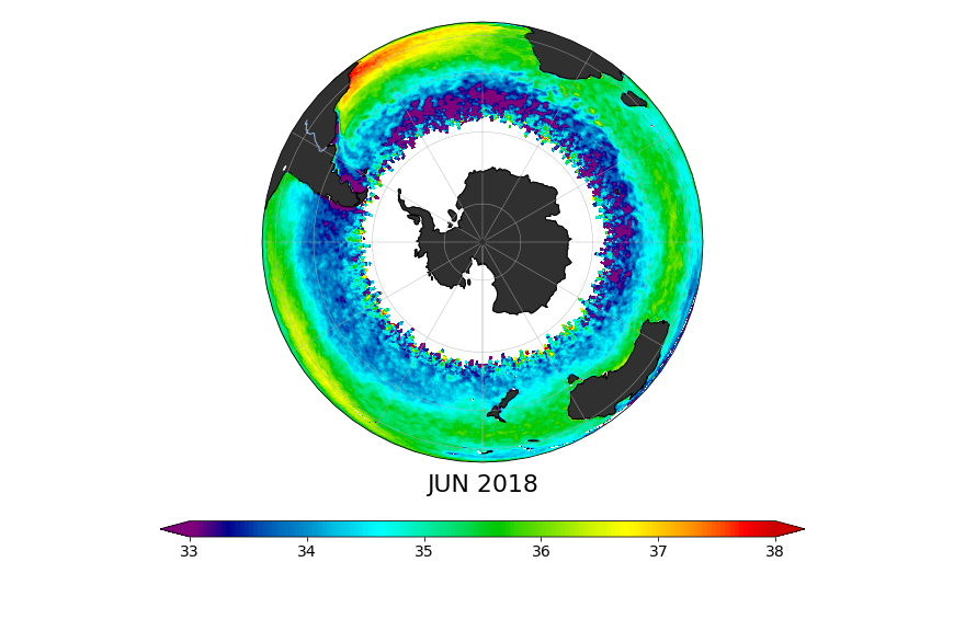
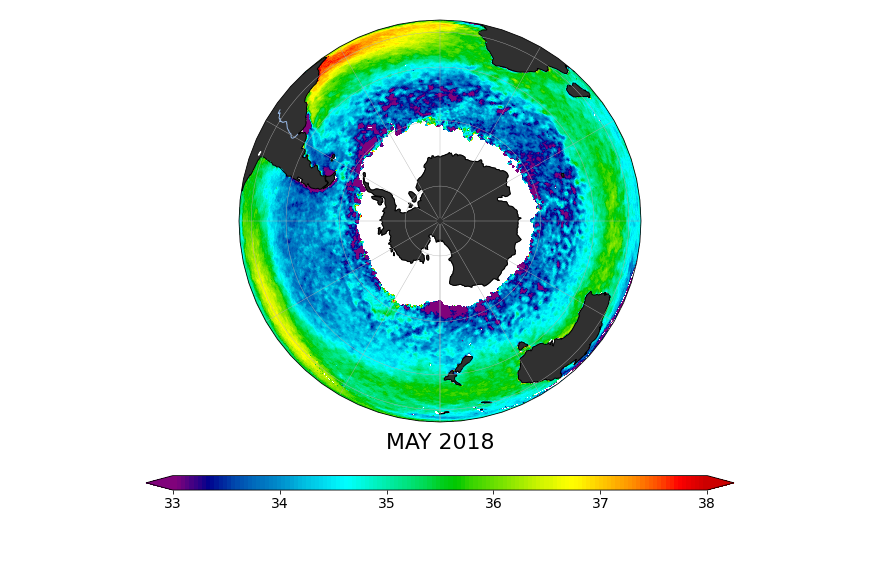
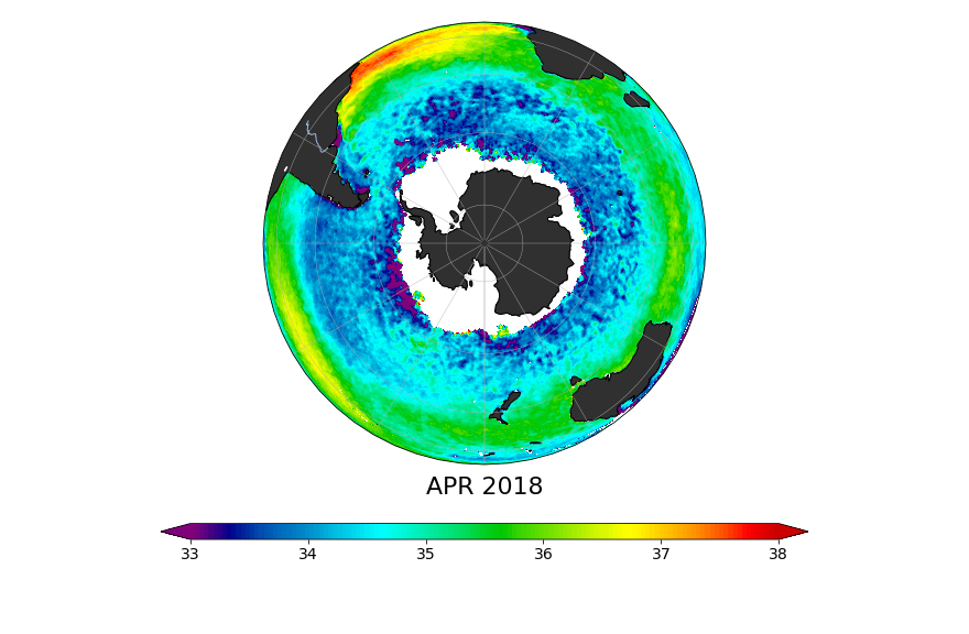
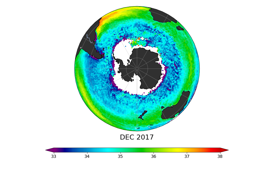
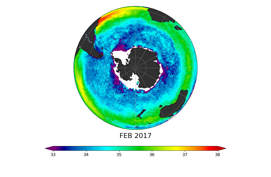
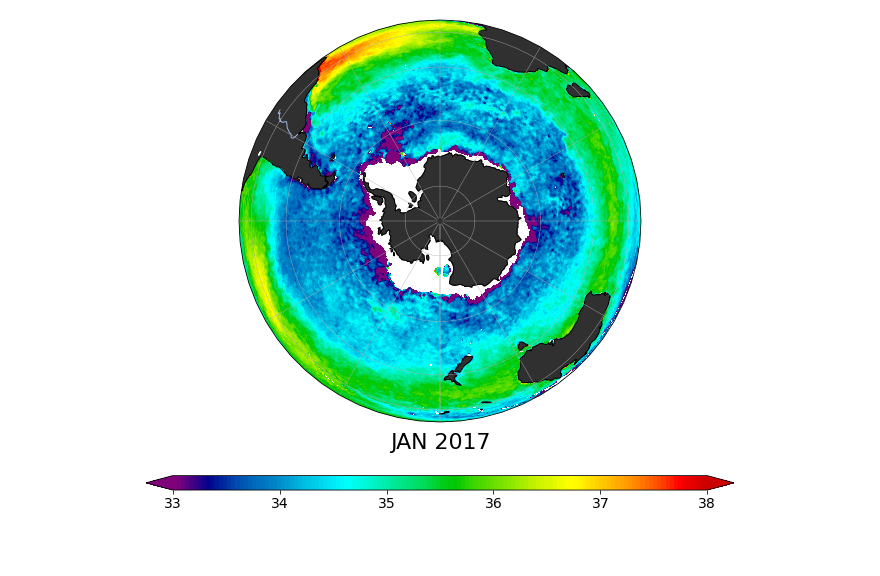
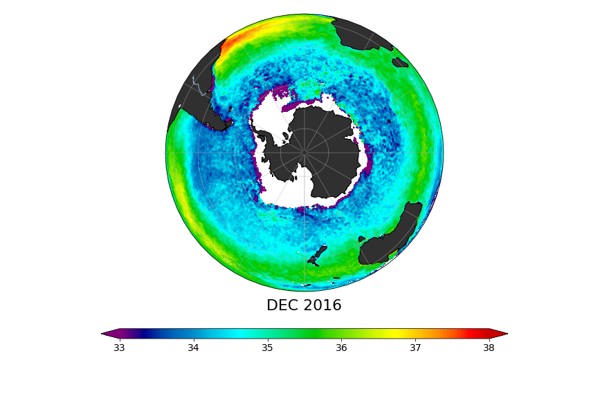
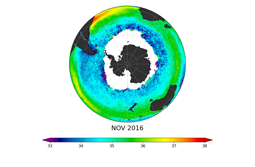
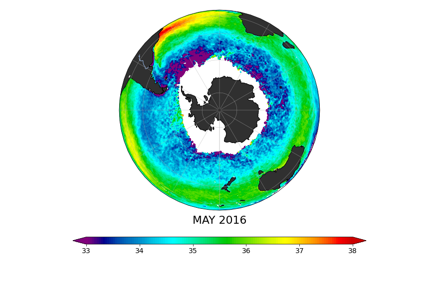
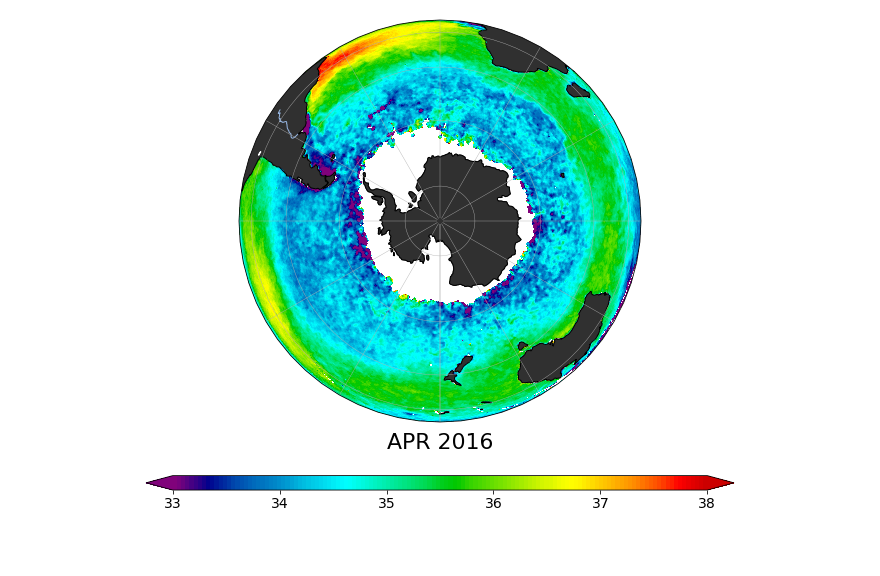
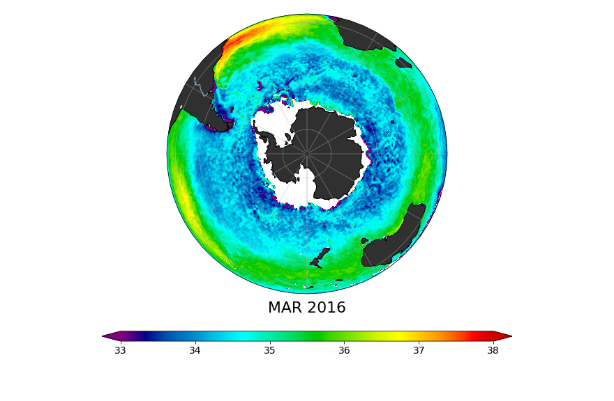
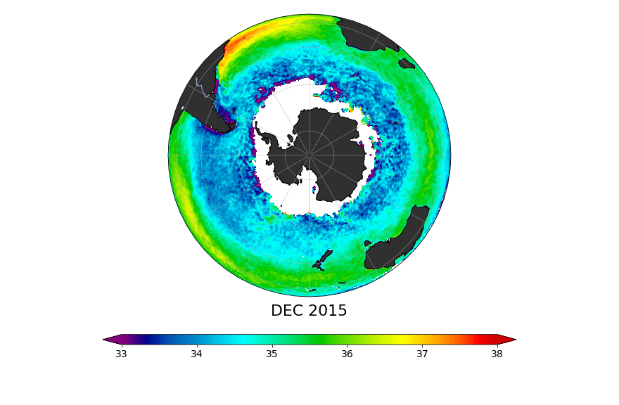
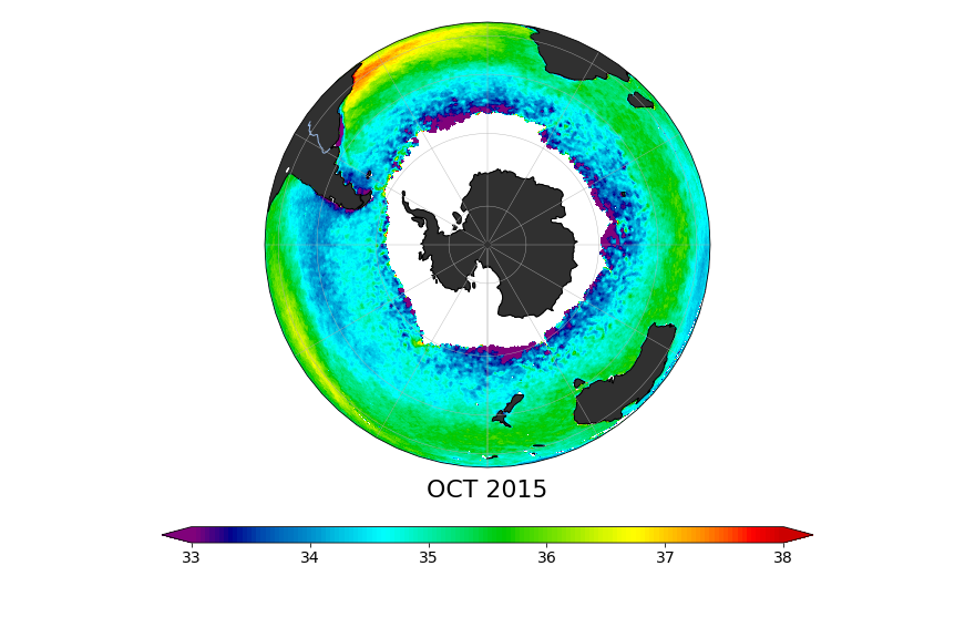
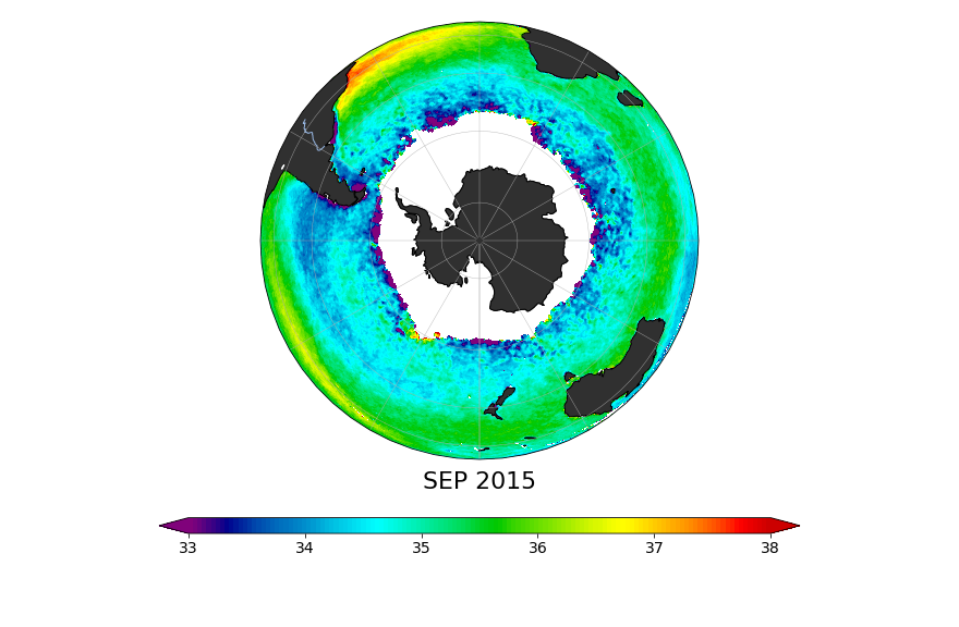
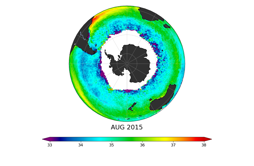
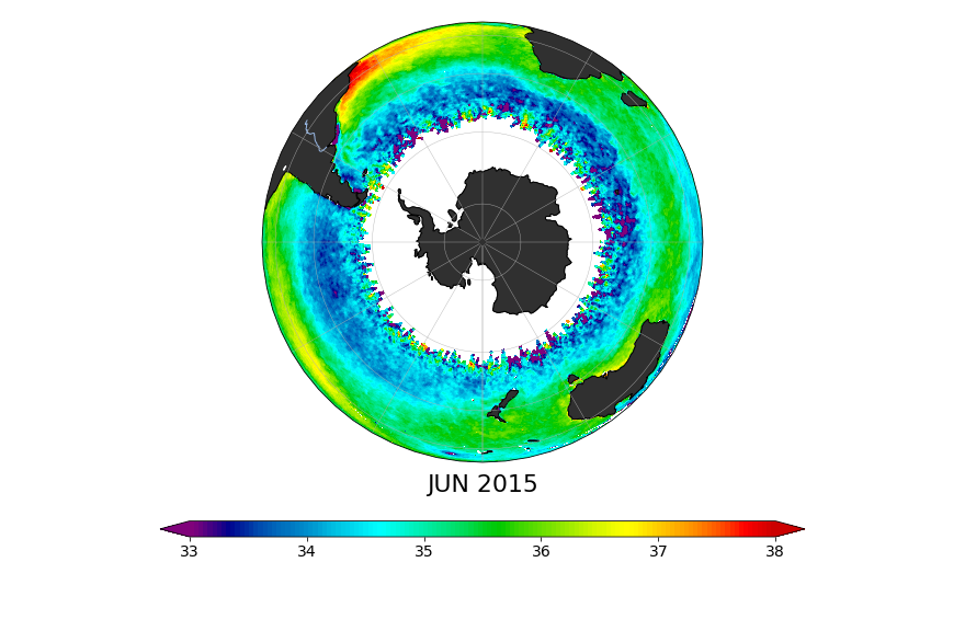
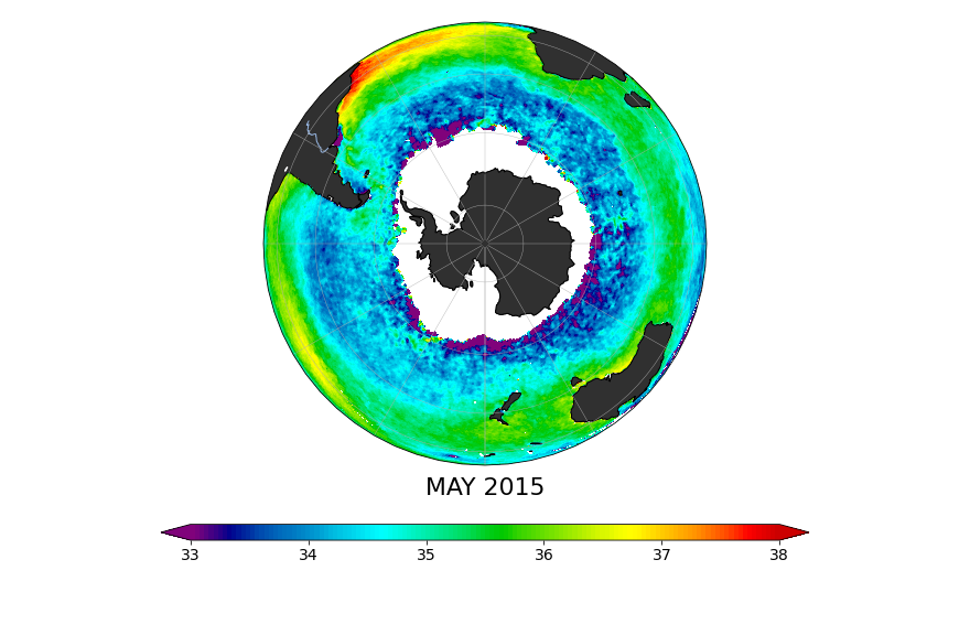
This is an investigator-produced monthly mapped sea surface salinity (SSS) product from the NASA Soil Moisture Active Passive (SMAP) observatory. It is based on the Combined Active-Passive (CAP) retrieval algorithm developed at the NASA Jet Propulsion Laboratory (JPL) originally in the context of Aquarius/SAC-D and now extended to SMAP.
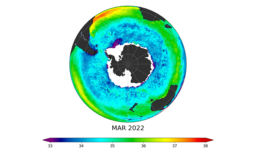
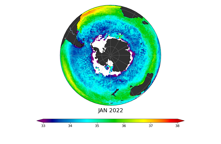
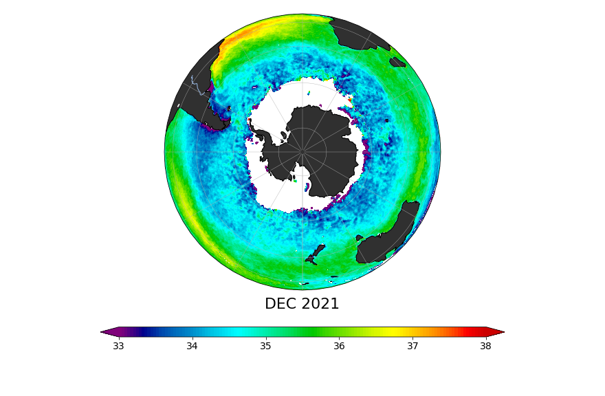
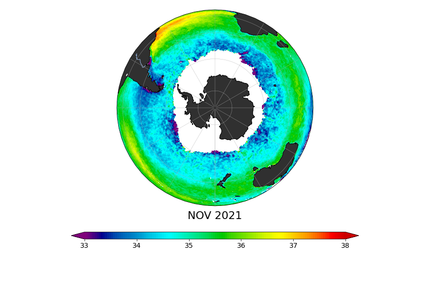
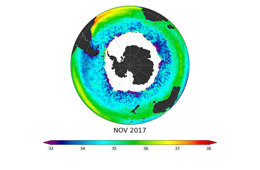
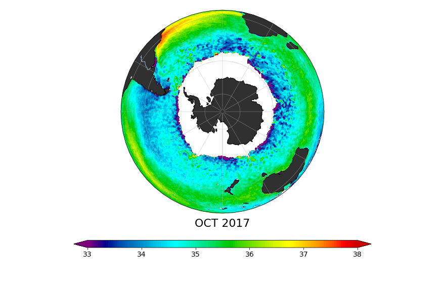
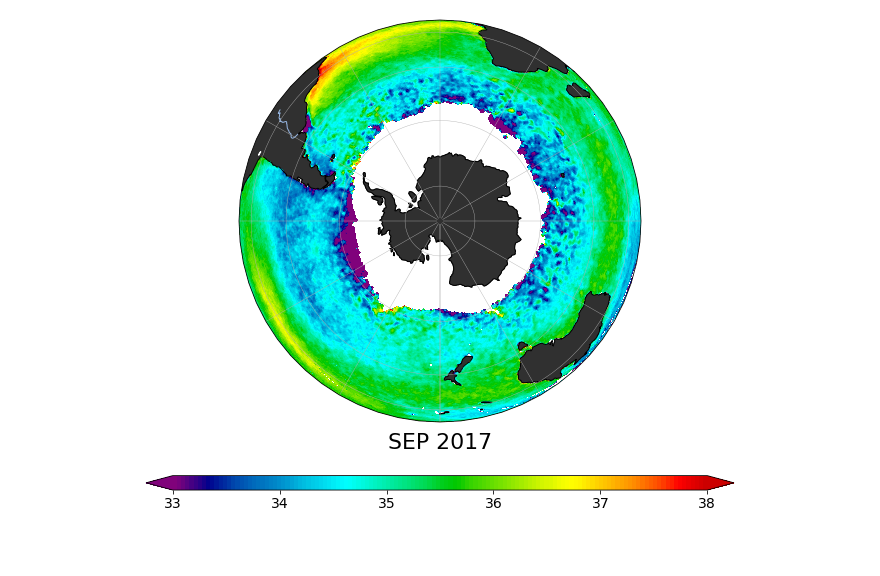
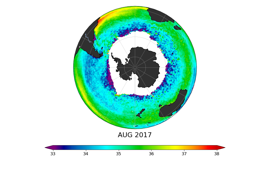
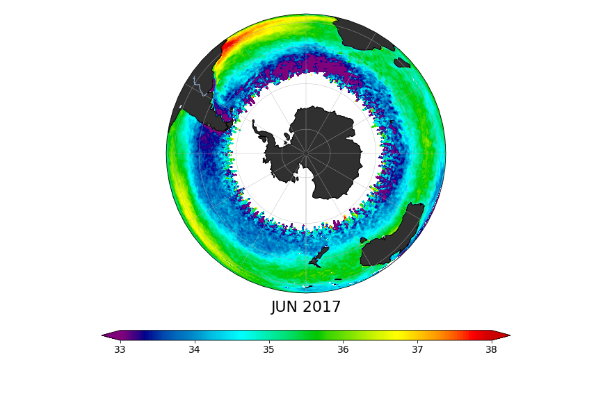
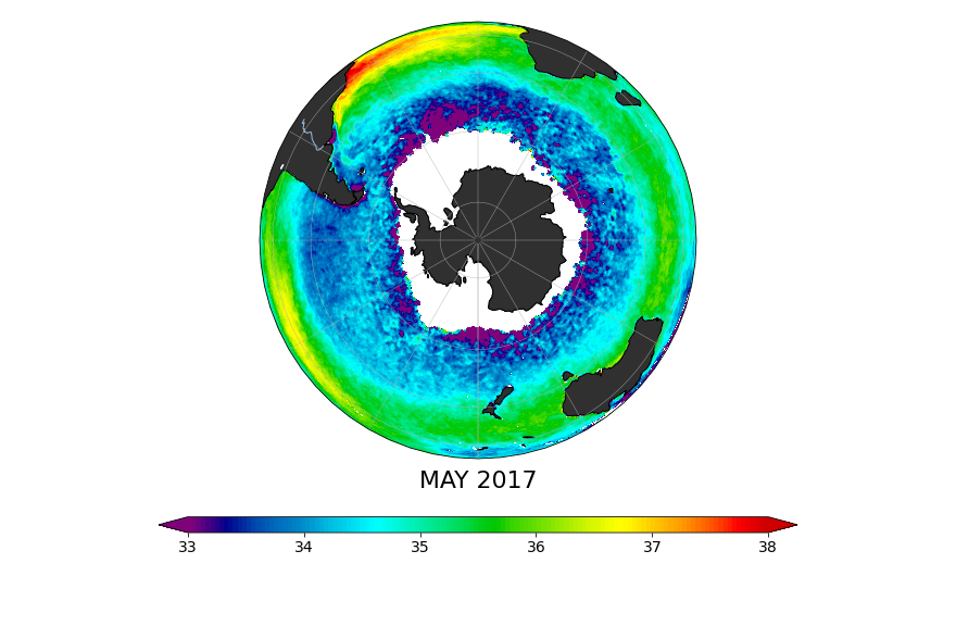
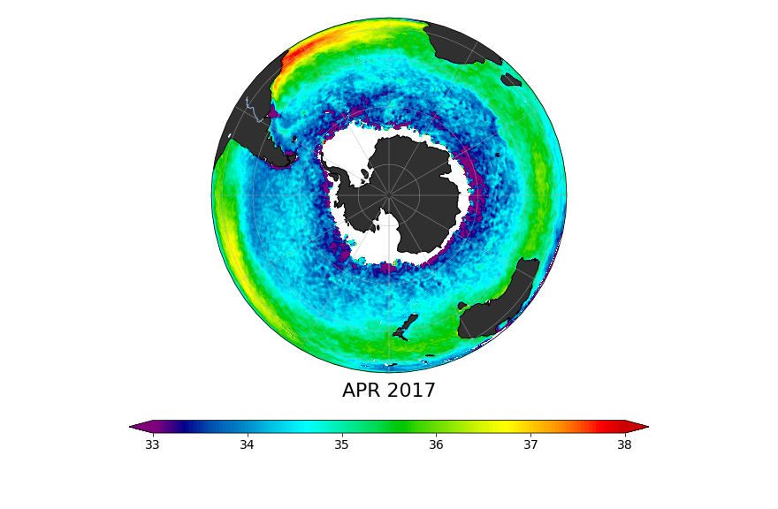
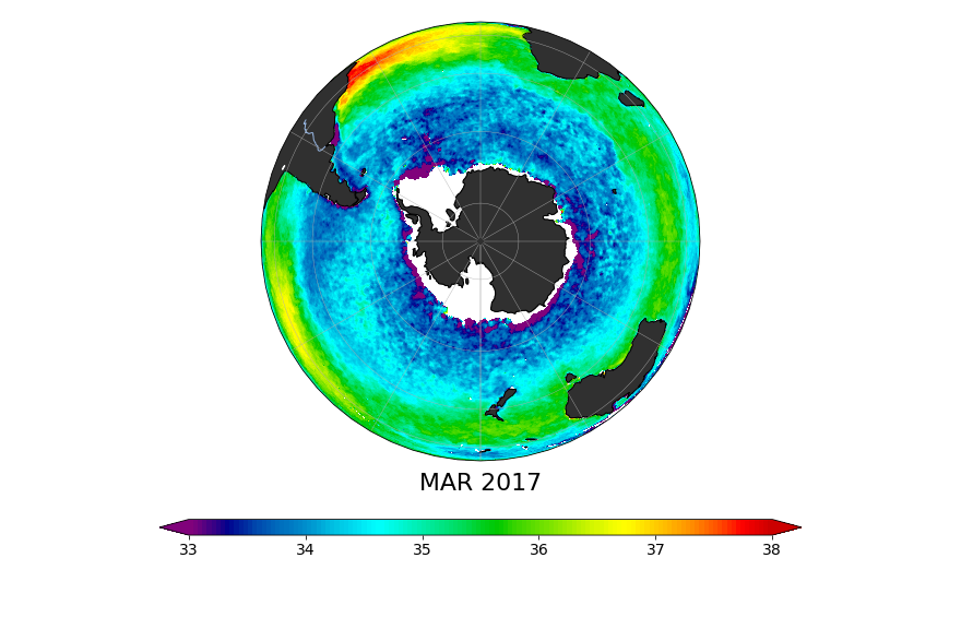
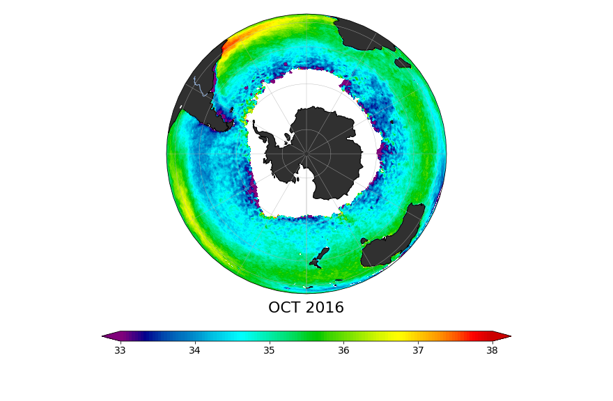
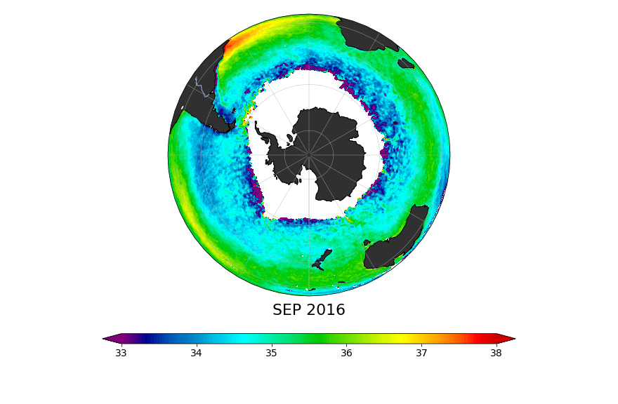
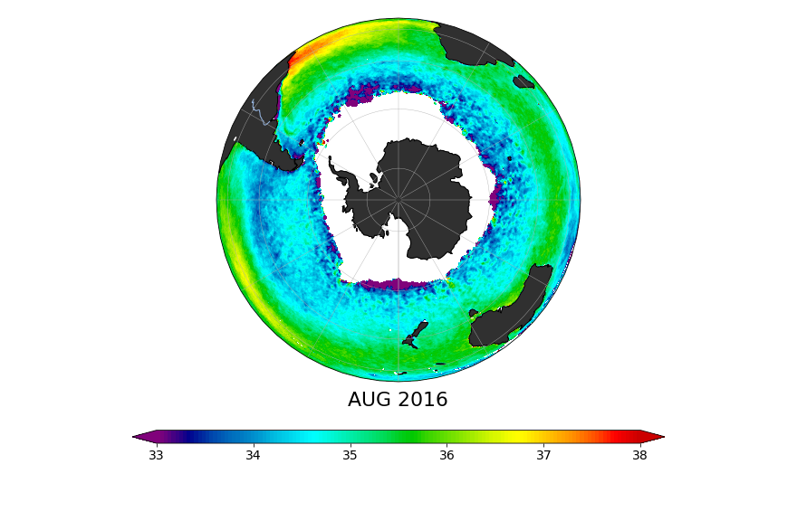
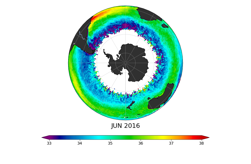
The maps show a range of salinities using the Practical Salinity Scale (PSS; Lewis, 1980), roughly equivalent to parts per thousand. PSS and PSU (Practical Salinity Units), are different names for the same thing. In the maps, reds show higher salinity (38 psu) and purples show relatively low salinity (33 psu).